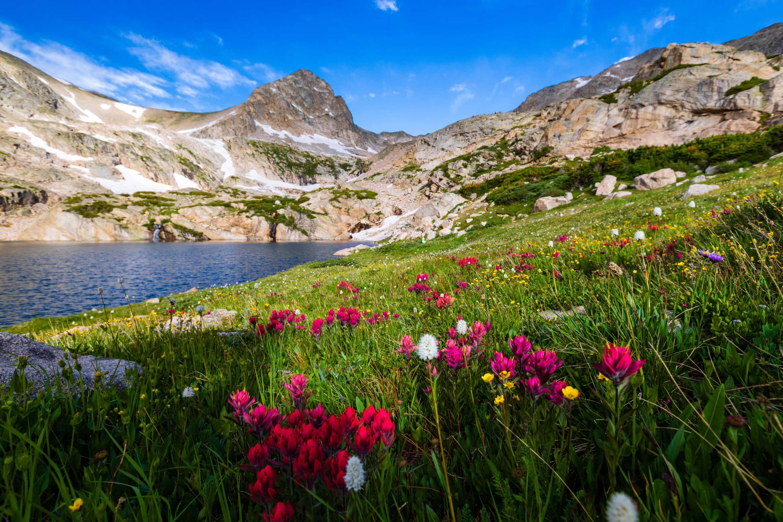
Wildflowers Galore on Mitchell Lake and Blue Lake Trail
I needed a Colorado wildflower hike, and boy did the Mitchell Lake to Blue Lake Trail deliver! At 3am, my alarm sounded, and I groggily rolled out of bed. I made a quick mug of coffee, threw all of my gear into the car, and headed out. For me, it was a 90-minute drive from east Denver into the Front Range and the Brainard Lake Recreation Area.
As I pulled into the parking lot, the only car there, the faintest light was beginning to hit the horizon. It was go time. The peaceful morning, the fresh mountain air, and the birds chirping meant we were in for one heck of a day in nature.
Summer in Colorado is one of the best seasons – especially for a nature photographer – and this hike, while pretty moderate and straightforward overall, packs a serious punch that all hikers will enjoy.
Hiking Guide for the Mitchell Lake and Blue Lake Trail in Colorado’s Indian Peaks Wilderness
1-Minute Hiking Guide
- This is NOT the Blue Lakes Trail in the San Juans (But I do have a guide for that hike.)
- Trailhead: Mitchell Lake
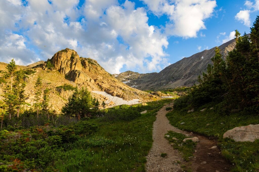
- Trail condition: In very good shape
- Permit Required: Yes, for Mitchell Lake (though you can choose any in the area and then walk there)
- Distance: 6.5 miles round trip
- Elevation Gain: 1,300
- Difficulty: Moderate (hardest part is the altitude you’re hiking at)
- Get your permits here.
- The trail is hikable mid-June through mid-October (based on the Rec Area operating status)
Trail Report: Going to Blue Lake from the Mitchell Lake Trailhead
At 4:45 am, I hit my watch, and off I went into the dark forest. I had a podcast playing, just in case a large cat was nearby. I wasn’t too concerned, but why not cover a base or two?
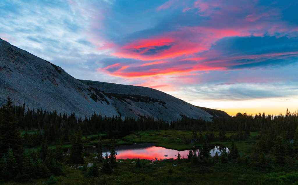
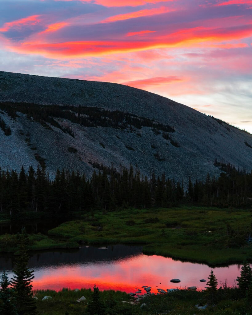
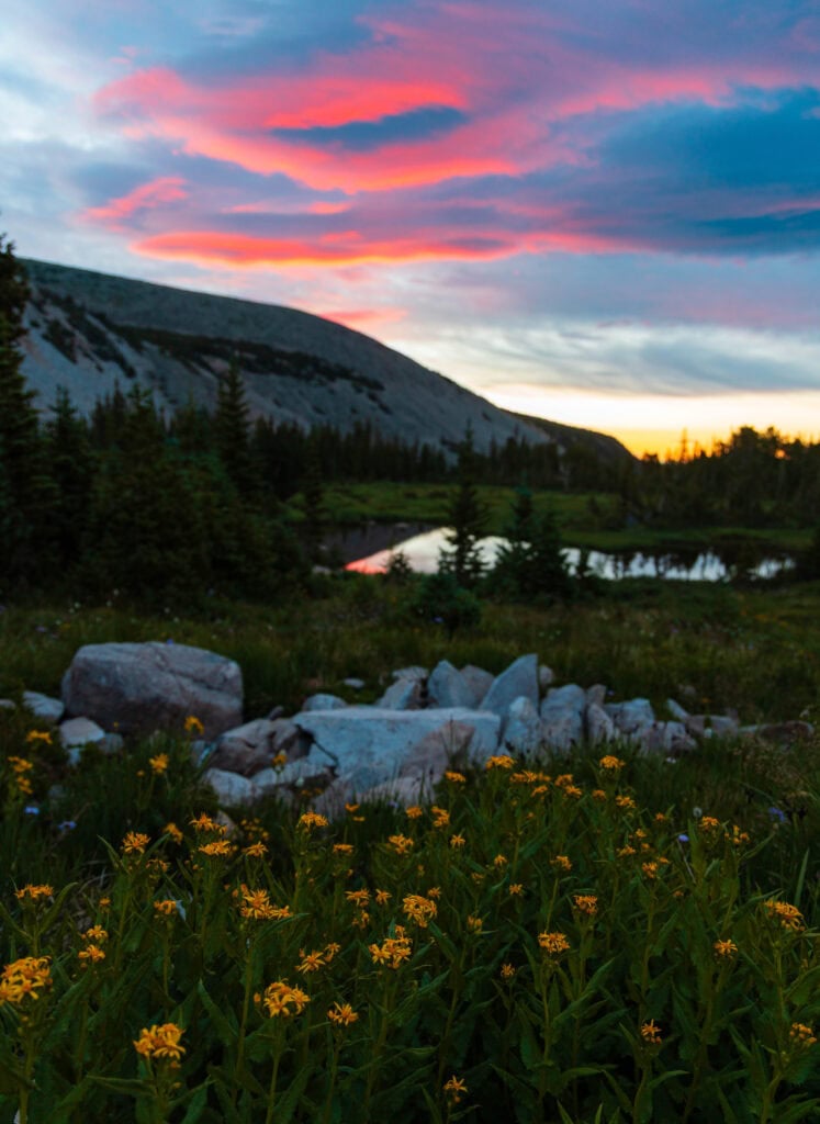
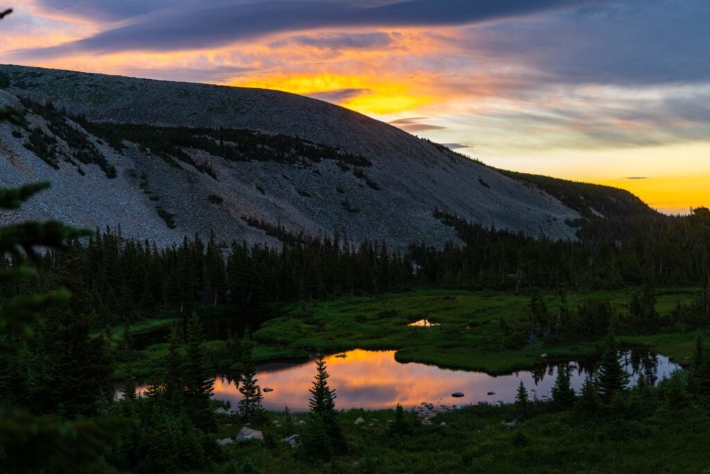
After 15 minutes, there was enough light in the sky to turn off my headlamp as I crossed the first bridge. Soon after, I reached Mitchell Lake, just as the sky was erupting in a volcanic magma color. It was BEAUTIFUL!
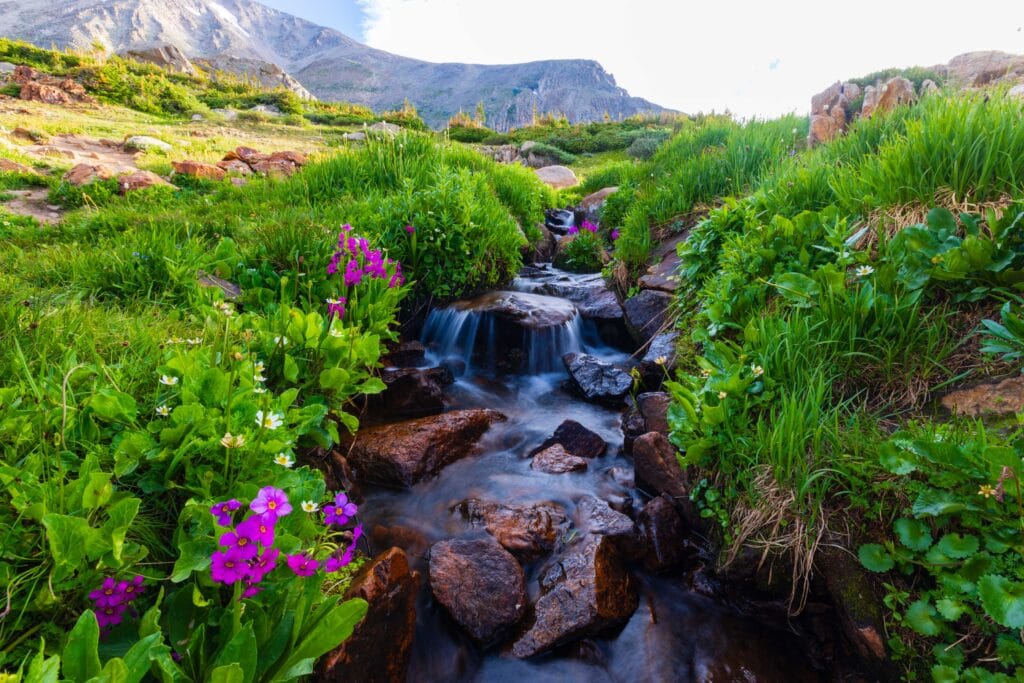
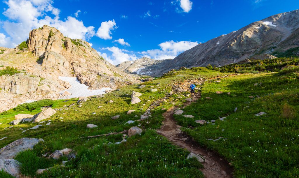
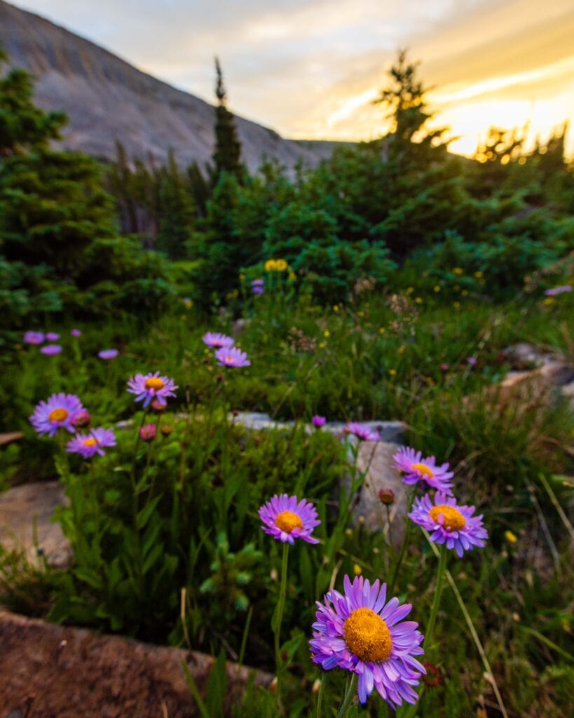
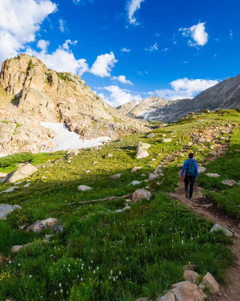
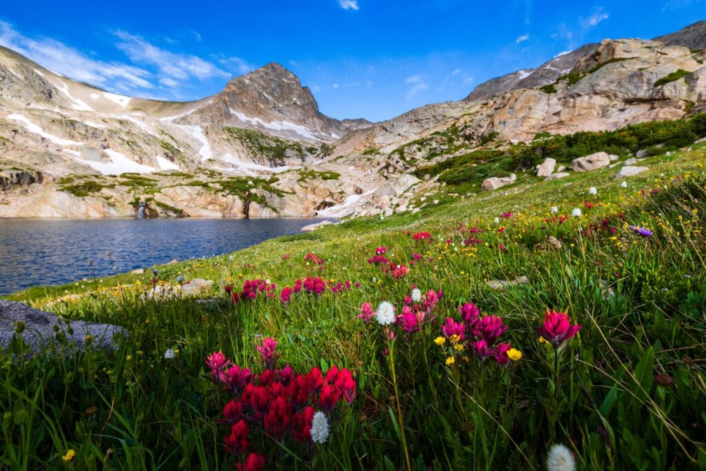
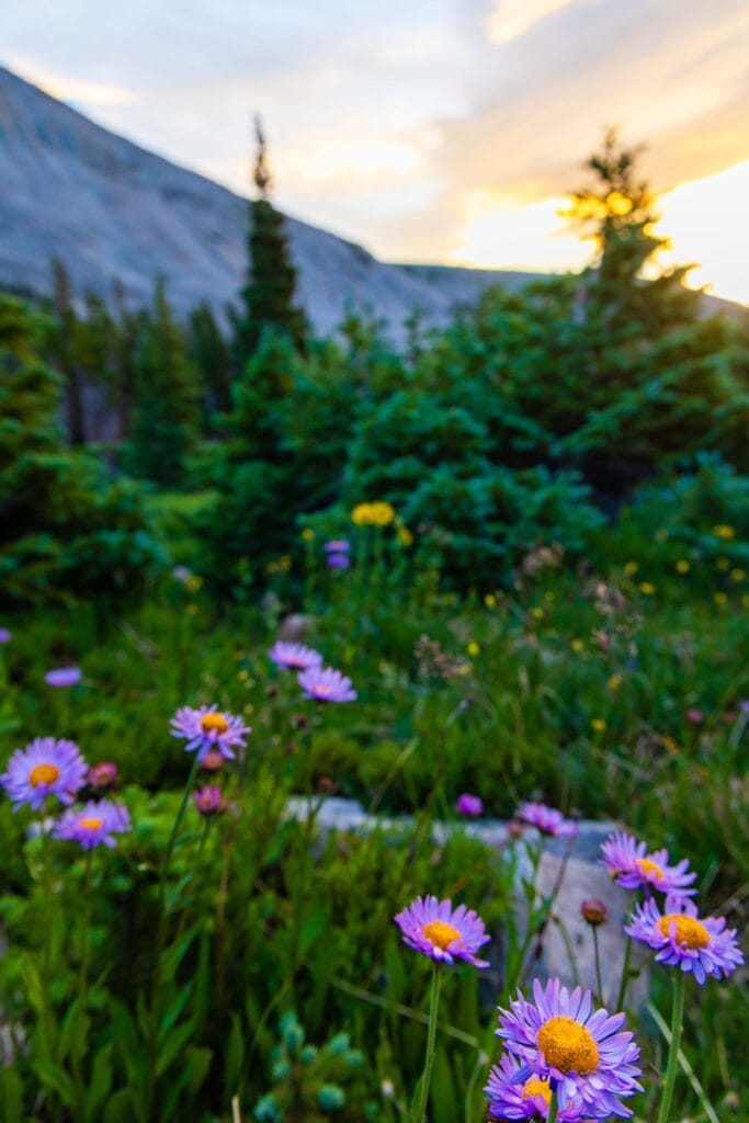
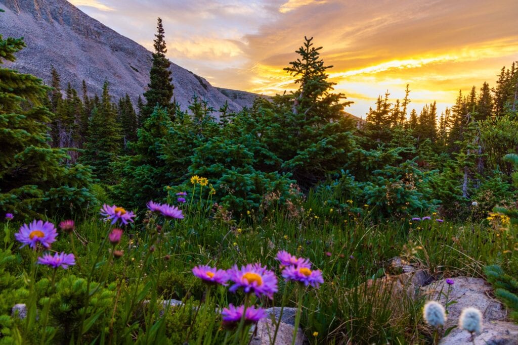
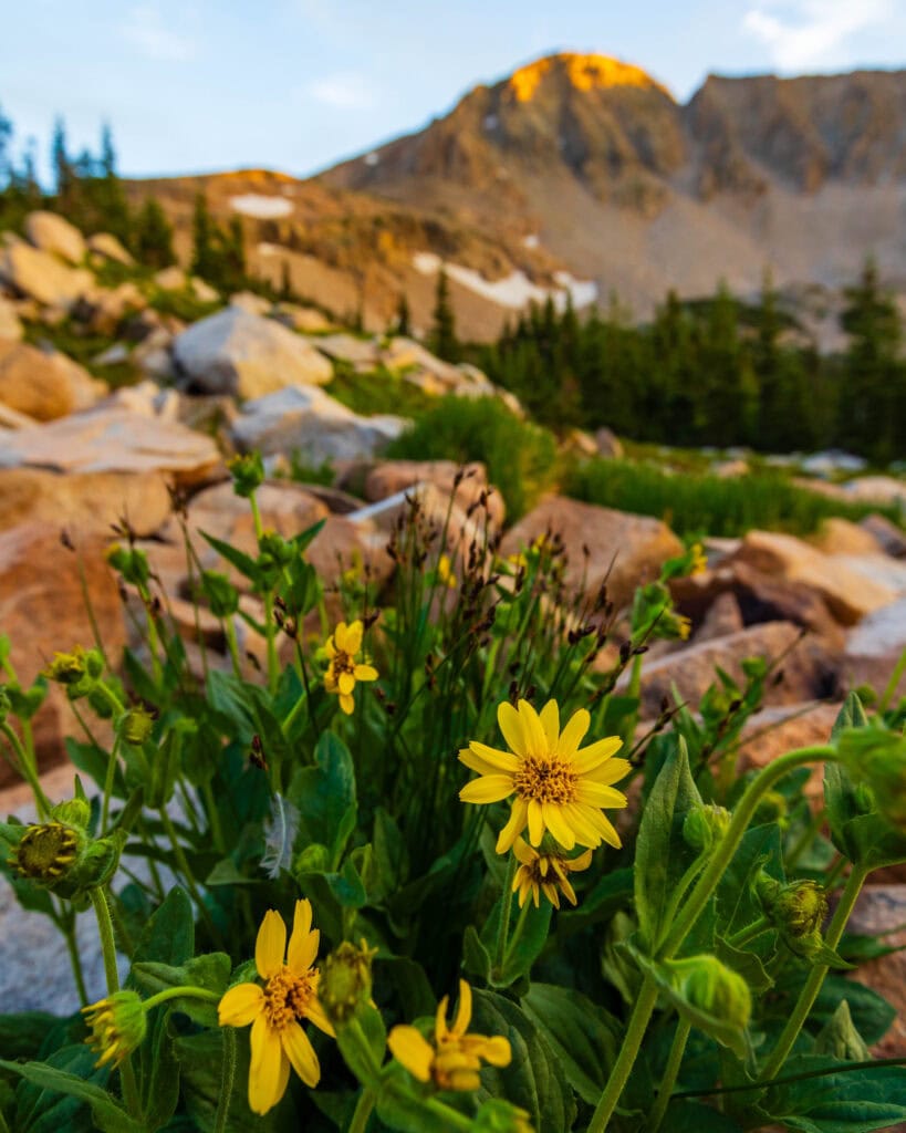
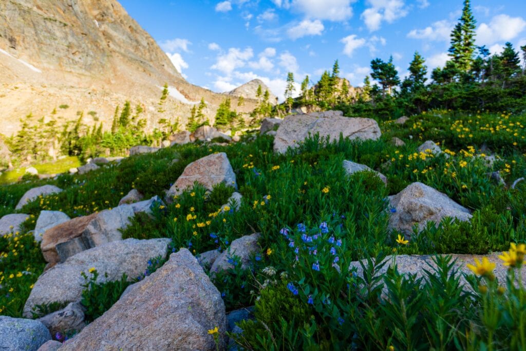
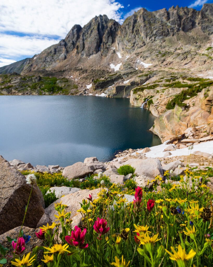
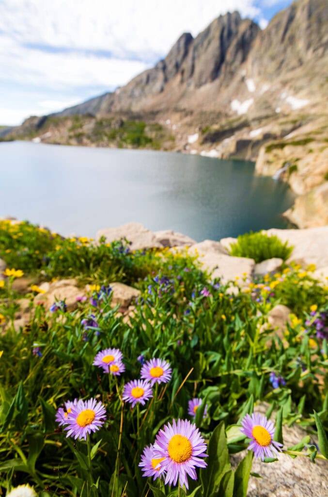
From here on out, it was a very slow climb to the top because I just had to take photos of every.single.wildflower! It was a blast – minus getting dizzy standing up and down so much.
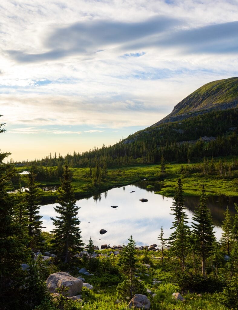
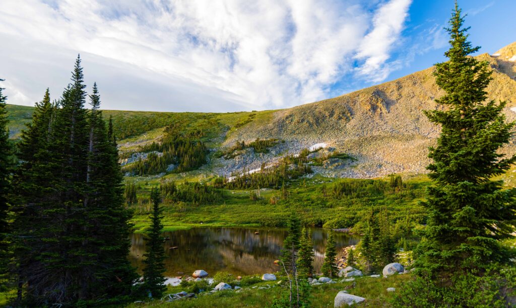
Mitchell Lake is the namesake for the trail, though it’s only 1 mile from the trailhead. Almost anyone could hike it. There are also two other lakes with the same name further on up the trail. They were so nice in the early-morning light, with glassy water.
Blue Lake
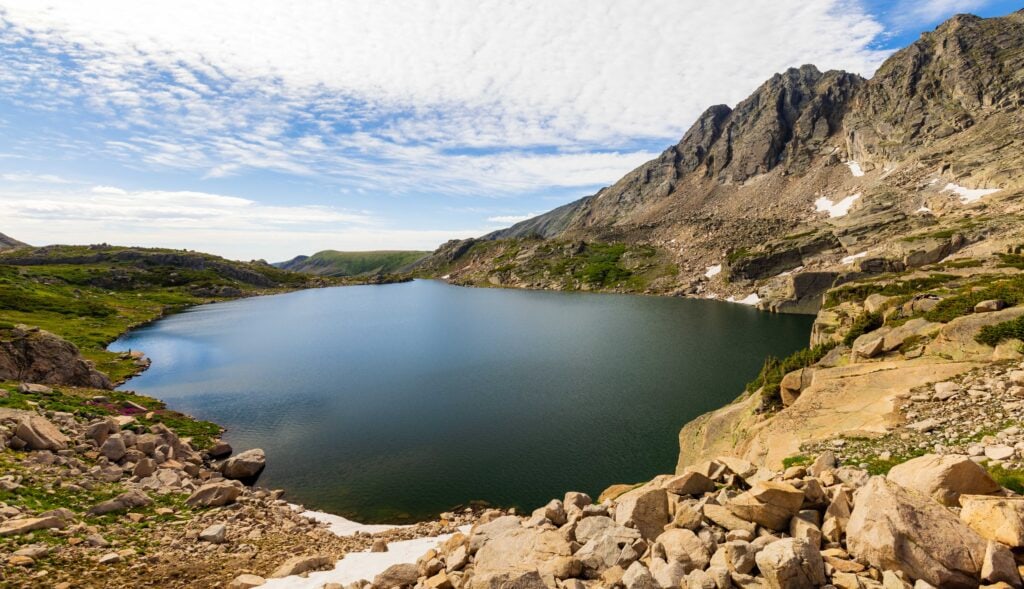
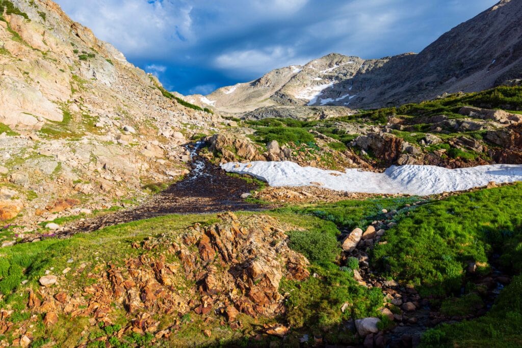
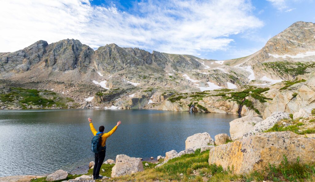
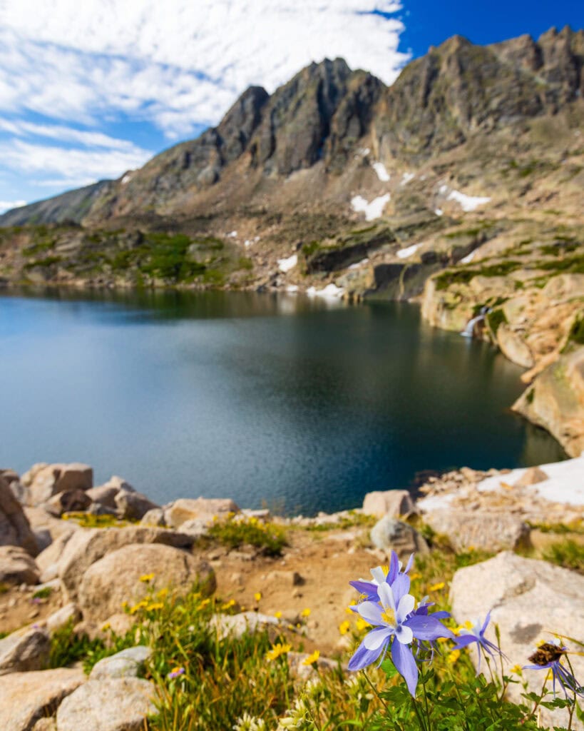
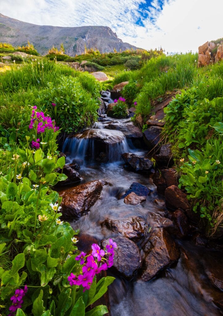
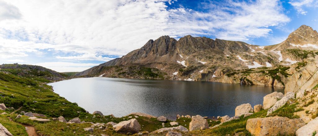
Once you pass Mitchell Lake #3 (below the trail), you’ll follow Mitchell Creek up for another .7 miles until you reach the mouth of Blue Lake. Take your time here because the basin is magical. There are some nice cascading waterfalls, big peaks, and lovely flowers.
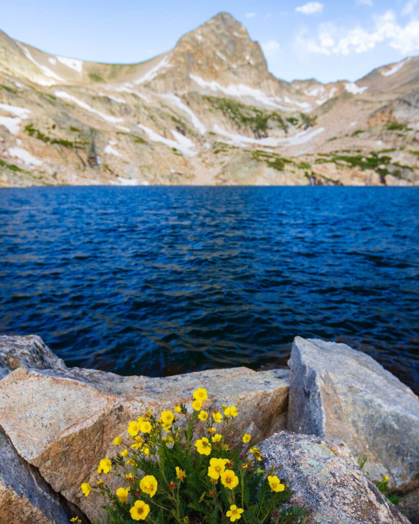
Thankfully, none of the approaches are hard or steep, letting you concentrate on the views rather than your breathing.
Counterclockwise Around the Lake
After soaking in the views at the lake and putting on my puffer thanks to some serious wind, I began a counterclockwise approach around the lake. There’s a light trail to follow as it hugs the shoreline.
Once the trail starts to gain elevation, those without sure footing or a comfort level with rock hopping may want to stop. It’s nothing dangerous but requires some balance. (The trail to Little Blue Lake is unmaintained and has a steep final section.)
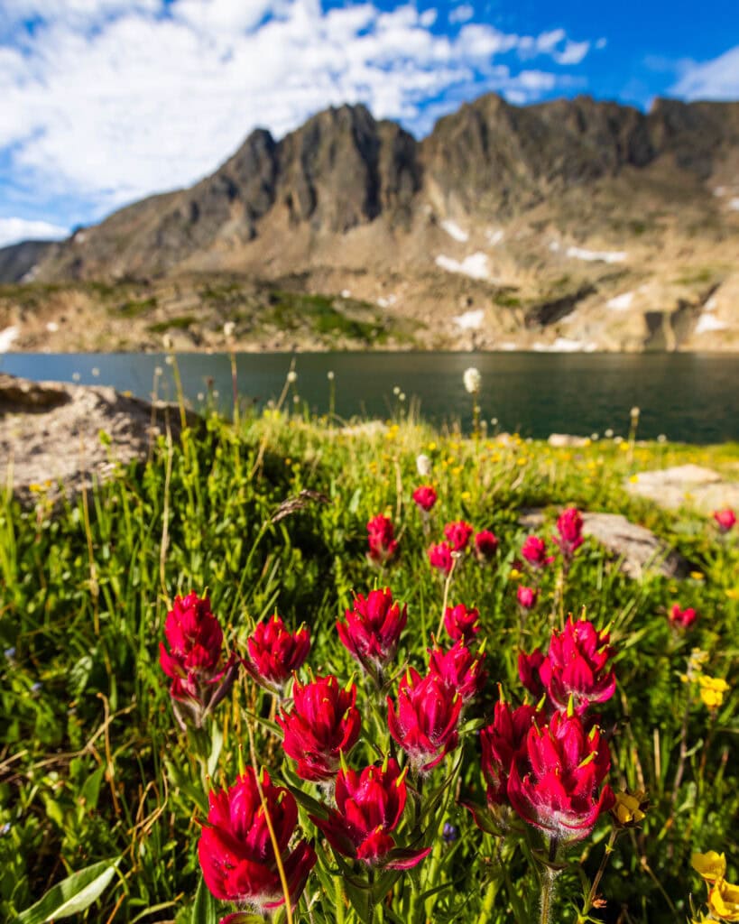
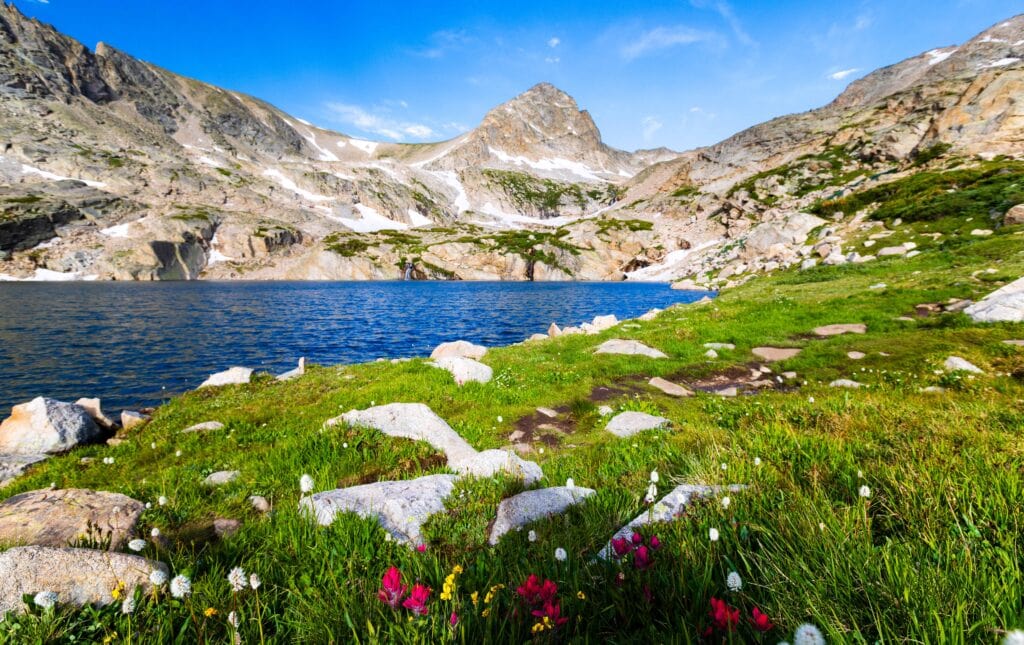
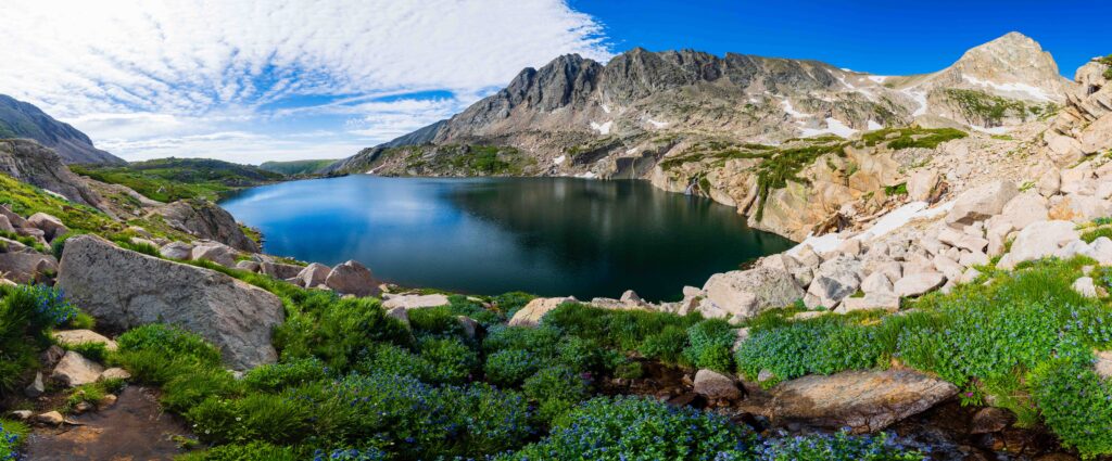
I went to the far end of the lake, found a rock to eat my PB&J, and called it a day. It’s not far to Little Blue Lake, but I didn’t believe it would add much to my day.
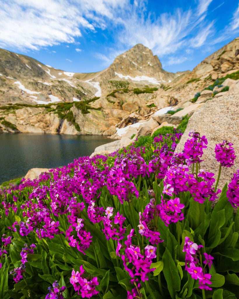
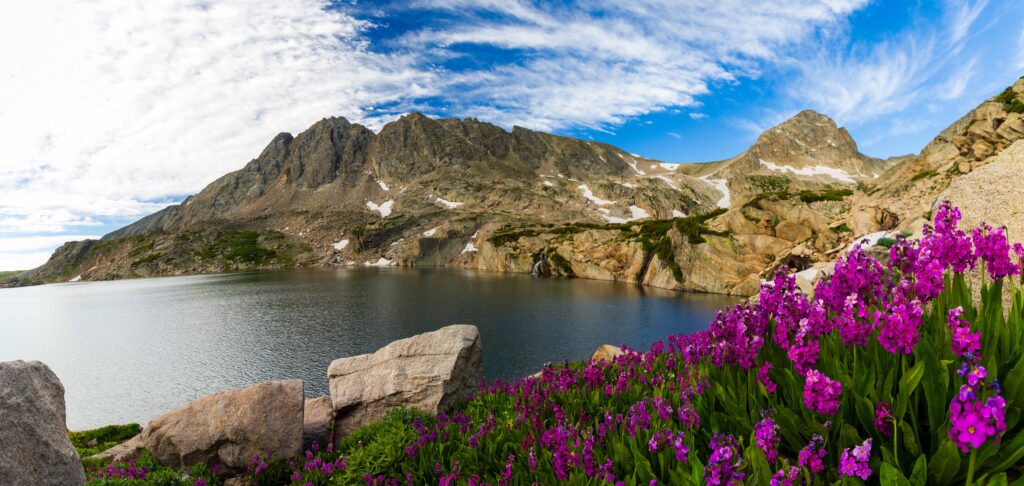
Along the right side of the lake were some of the most majestic wildflowers I’ve ever seen. It was so freaking pretty. I was on cloud 9.
What to Know About Visiting Brainard Lake Recreation Area
Diving into a few things to know about the area.
What is the cost of a day permit?
If you have an America the Beautiful Pass, it only costs $2 to snag the timed entry permit. When you check out, you’ll have the option to select your pass, and the fee will be deducted before you complete checkout.
90 minutes from Denver
If you’re wondering why a National Recreation Area is permitted, welcome to the club. The first time we visited after moving to Denver in June 2025, I didn’t do my research, and we ended up having to walk or hitchhike to the Long Lake trailhead for our hike to Lake Isabelle.
But it’s because it’s so close to Denver and very pretty, so the crowds flock here on weekends. The only way to keep the numbers somewhat down is to implement timed-entry permits during the summer months.
Trailhead access is permitted. Or you walk
They have plenty of permits, and if you can plan things out 2-3 days in advance, you should be fine to get a spot – especially if it is on a weekday. The weekends fill up faster. If you don’t get a permit, you can park at the Gateway Trailhead, and it will add about 3 miles to your trek each way.
Feel free to hold out a thumb as you walk. You might get lucky.
Choosing what permit to select
There are four options to choose from when selecting day use permits:
- Brainard Lake Picnic Site/Trailhead: Nice place to eat, can also park and hike here – but you’ll add some distance
- Long Lake Trailhead: Best for the Long Lake, Lake Isabelle, Pawnee Pass – most direct route for these hikes
- Mitchell Lake Trailhead: Michell Lake, Blue Lake, Little Blue Lake, and Mount Audubon/Paiute Peak >> For this hiking guide, you want this permit <<
- Niwot Picnic Site/Trailhead: Slightly longer hike for Long Lake and Lake Isabelle, but far less crowded. I did this route, and it’s beautiful (you hike the opposite side of Long Lake)
No Cell Service and no Gas
The Brainard Lake Recreation Area has no cell service, nor does the region at large until you get closer to Nederland to the south. Ward, the uber-small town most will drive through on the way from Denver/Boulder, also has no gas. If you’re on the edge, fill up in Boulder before starting the uphill climb to the Indian Peaks Wilderness.
Because there’s no cell service, make sure you take a screenshot of the permit or save it to your Apple Wallet.
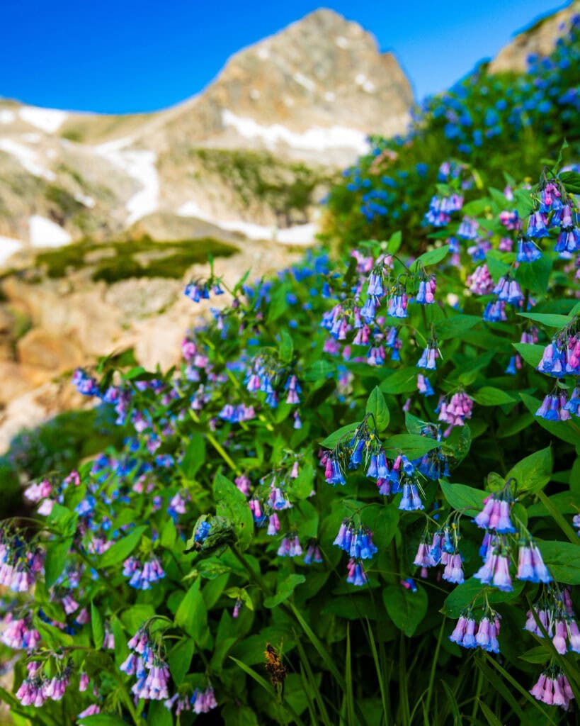
More photos from the hike to Blue Lake in the Indian Peaks Wilderness
Enjoy! And if you would like to purchase any, shoot me an email.
Final Thoughts on Hiking to Blue Lake Near Denver
The Mitchell Lake Trail to Blue Lake is a beautiful trail. While there will be plenty of people on the trail, it won’t feel overwhelming because the crowds arrive at staggered times throughout the day.
This, along with Lake Isabelle, is two knockout trails for you to do on your vacation or hiking adventures in Colorado. Both are family-friendly and good for most people well into their 60s if you do decently well on uneven terrain.
Until next time, adventurers, stay safe.
Follow on social media: TikTok || Instagram || Facebook || Newsletter | YouTube