A Guide to Hiking and Backpacking the Zirkel Circle near Steamboat Springs, Colorado
Ever since I moved to Colorado, backpacking the Zirkel Circle has been high on my list. For one, it’s a funky name. Second, and more importantly, it’s a gorgeous loop trail through the Mount Zirkel Wilderness, an hour northeast of Steamboat Springs.
The trail proved to be everything I could have hoped for—towering, craggy peaks; endless fields of wildflowers; gorgeous lake basins; crystal-clear creeks.
For 27 hours, my wife and I enjoyed the beauty of the Colorado Rockies backcountry. By the end of the trip, we saw in person how special this area is, why it’s federally protected wilderness space, and felt our souls refreshed after a busy work week.
Inside, you’ll find everything you need to know about hiking and backpacking the Zirkel Circle in north-central Colorado.
Exploring the Beautiful Zirkel Circle in Colorado
1-minute trail details for the Zirkel Circle
- Trail Distance: 12 miles
- Elevation Gain: 2,500 feet (830 meters)
- Difficulty: Moderate
- Route to take? We went counter-clockwise; longer to reach Gilpin Lake, better views coming down.
- Camping restricted 1/4-mile from either lake
- Trailhead Location: Slavonia Trailhead
- Distance from Denver: 4-4.5 hours
- Are drones allowed? No. This is a federally recognized wilderness area.
Easy Booking: Expedia.com | Hotels.com | VRBO | Booking.com | Airbnb.com
Need Gear: Find Gear at REI
Find Awesome Tours: Viator.com or GetYourGuide.com
First time here? Stay in touch by following on IG: @Alecoutside and my newsletter
Iceland on your bucket list? Get my Iceland guide + 144 pinned locations on Google Maps
Please stay safe out there and follow Leave No Trace principles as best you can.
Trail Report: A 2-Day Backpacking Trip on the Zirkel Circle
Thanks to a groggy morning, Jaimie and I left Steamboat Springs a little later than we wanted to. We stopped by a cafe to grab breakfast and coffee and our trail lunch (we’d pack sandwiches in), before starting the 60-minute drive to the Slavonia Trailhead.
If you have hopes of speeding to the trailhead, you’ll be disappointed. It’s quite curvy, keeping you in the 30-40 mph range. But the final six miles of dirt road to the trailhead is mellow, letting any vehicle get there with no issues.
The official parking lot isn’t very big, but you’re allowed to park on the south side of the road. After hoping for a spot closer up, we ended up settling for one a 1/4 of a mile from the trailhead.
Counter-Clockwise on the Zirkel Circle
Just before 10 am (again, later than we aimed for), we set out counter-clockwise on the Zirkel Circle trail. With an elevation of 8,300 feet, it’s not too high of a starting point, so we weren’t too tired initially. But it started to warm up fast, and the warmth, plus lack of airflow, had us sweating quickly.
The Gold Creek section is forested and runs along the creek for easy water fill-ups (and cool-offs), but it is not necessarily too impressive. The three miles to the lake took us 1 hour, 45 minutes. But due to the heat, we were stopping frequently to dunk our hats and wet our shirts.
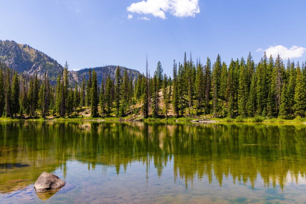
Only momentarily did we stop at Gold Creek Lake. We wanted to keep moving and get to the high point of the trail above Gilpin Lake before it heated up anymore. The section after the lake is decently flat, with a water crossing. That’s where we stopped for snacks and to fill up water with two more miles left on our push.
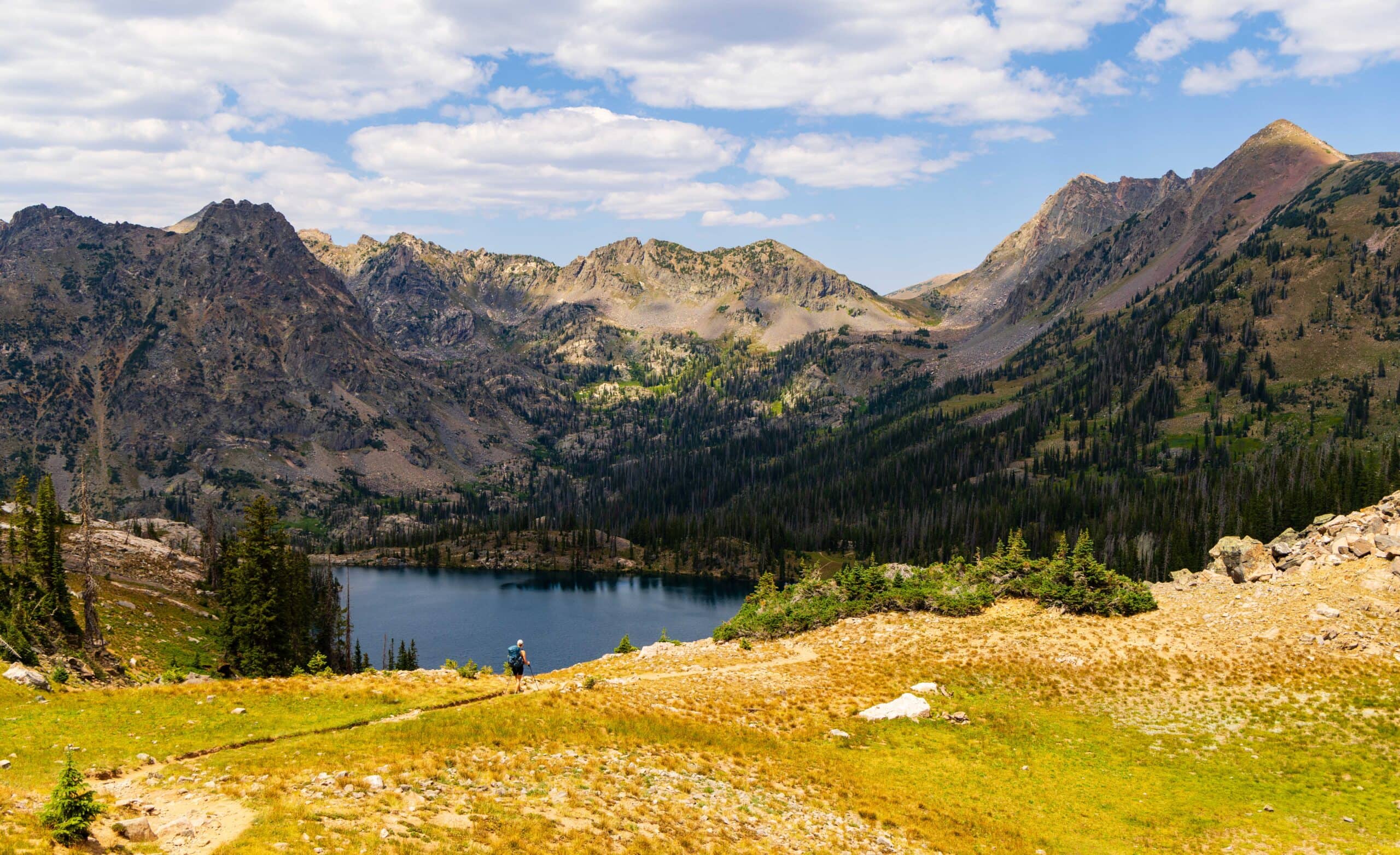
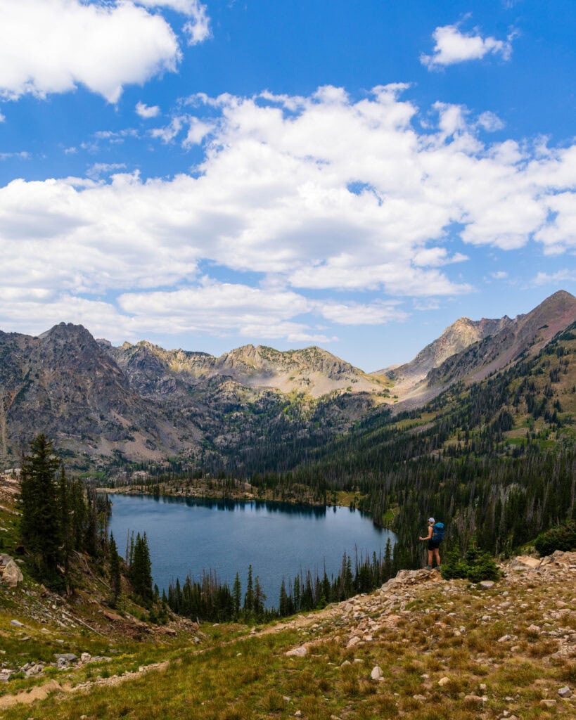
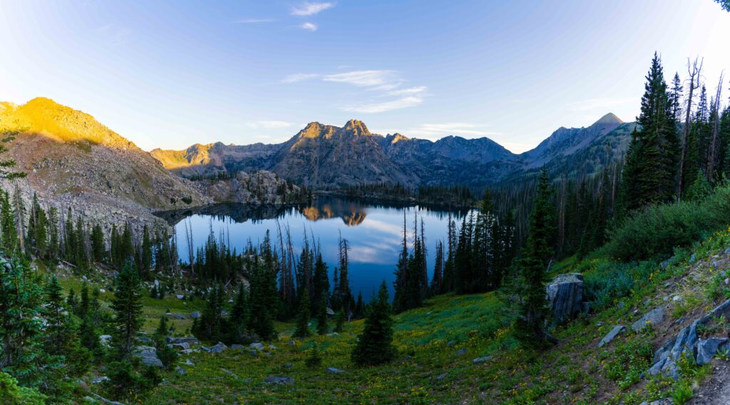
Again, the hiking wasn’t too challenging. The heat was the issue. On a cooler day, we would have moved much quicker up the trail. By the time we traversed the switchbacks and reached Gilpin Ridge, it was 2pm. We had done about 6.5 miles on the day, so our speed wasn’t terrible – though not great. But hot damn! The view at the pass was gorgeous and worth every step to reach it.
Gilpin Lake
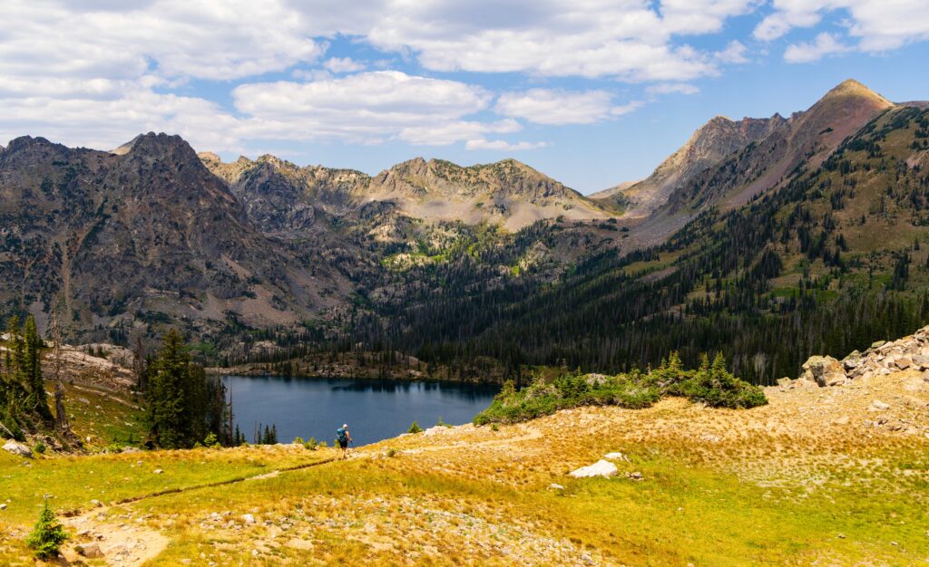
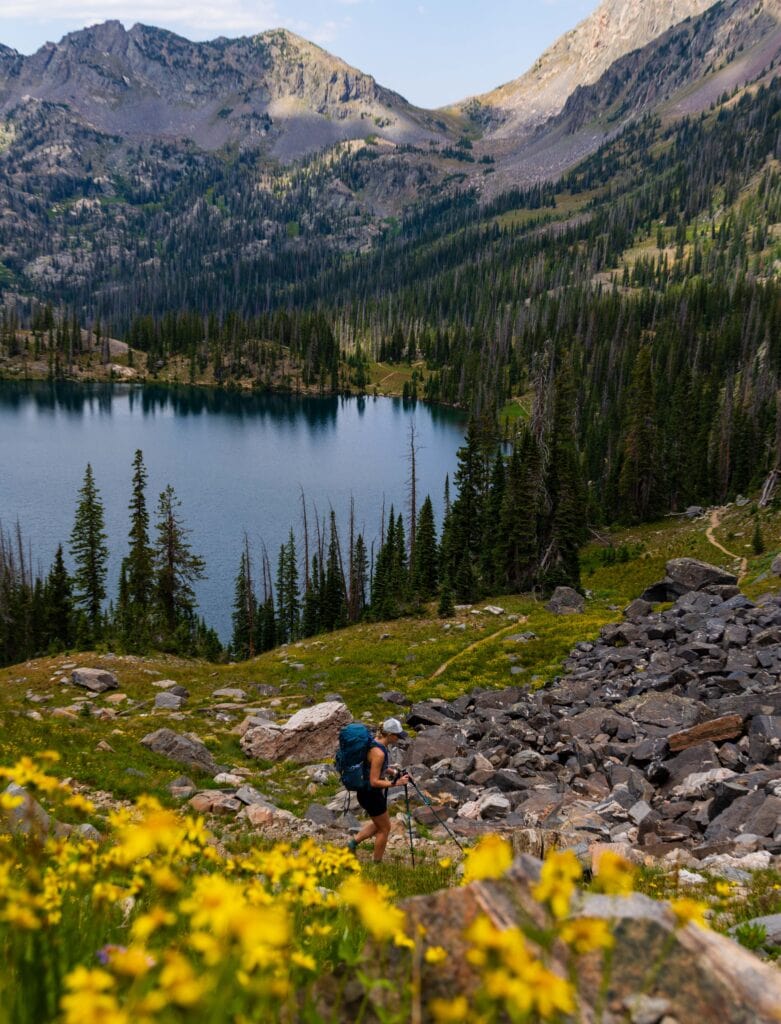
This is the gem of the circuit.
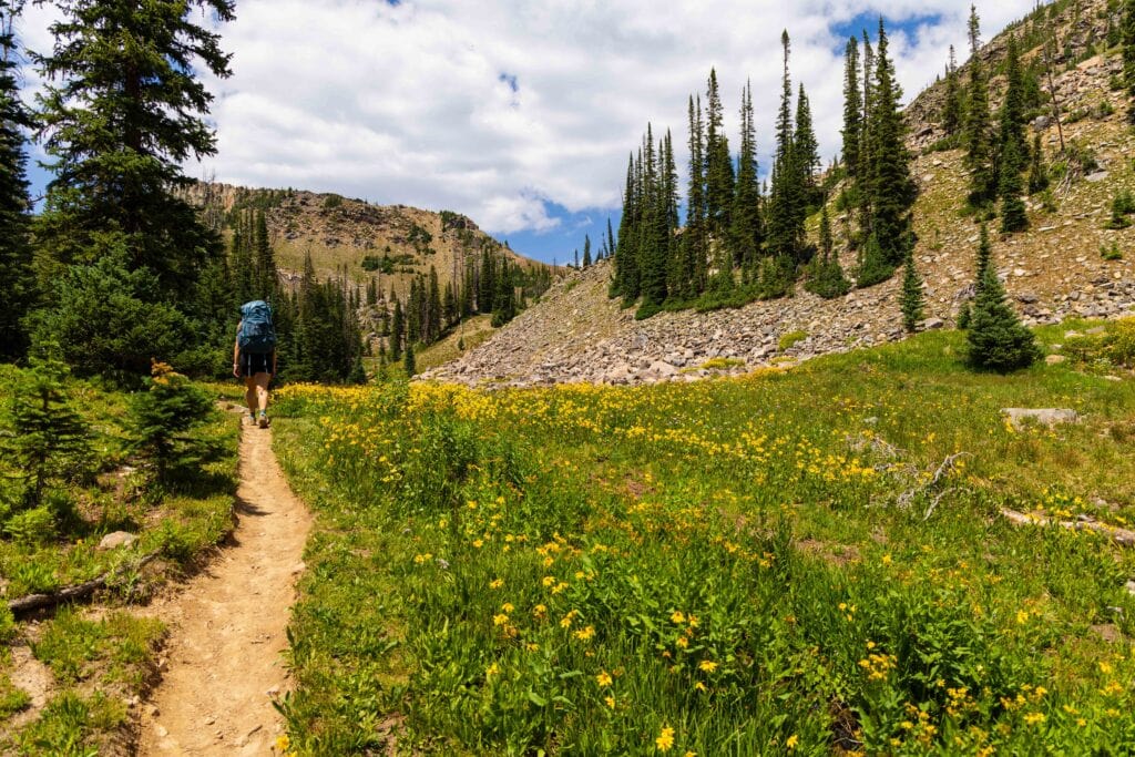
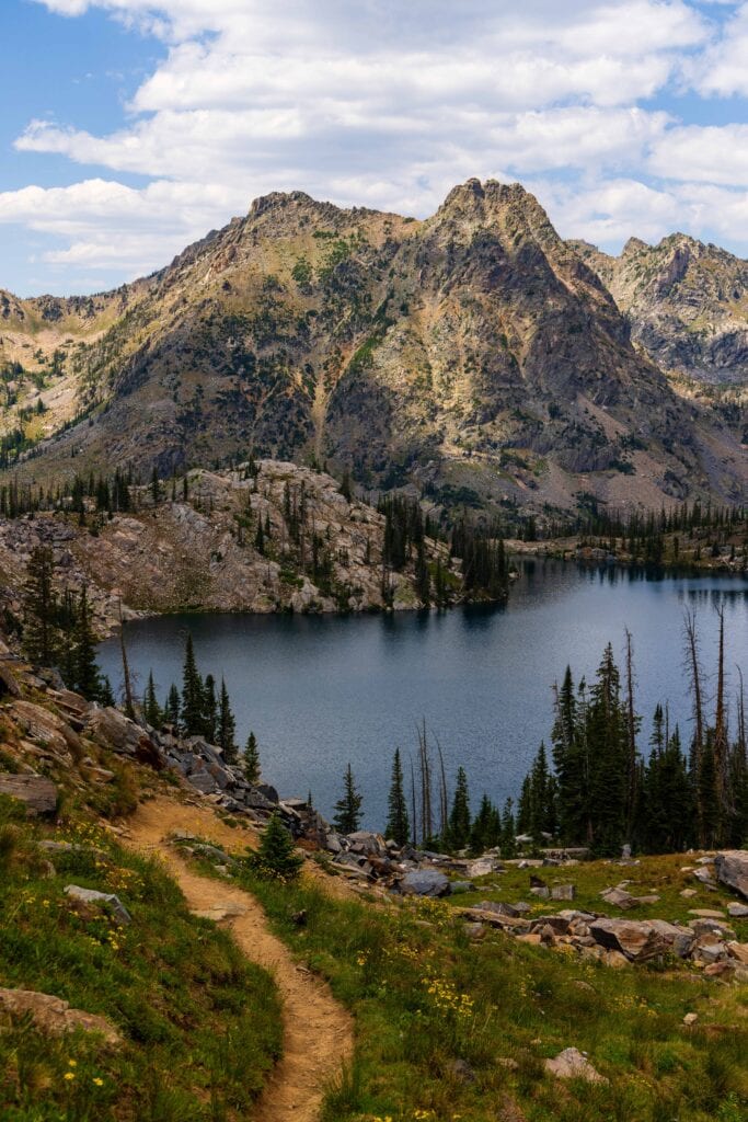
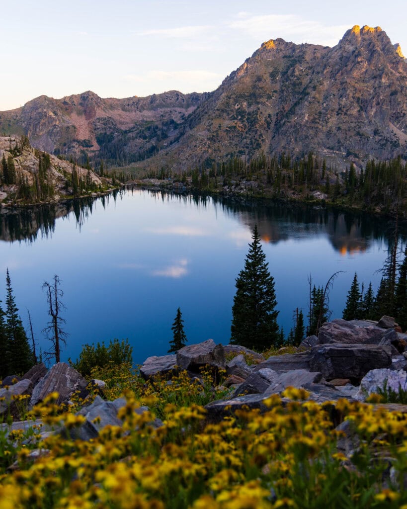
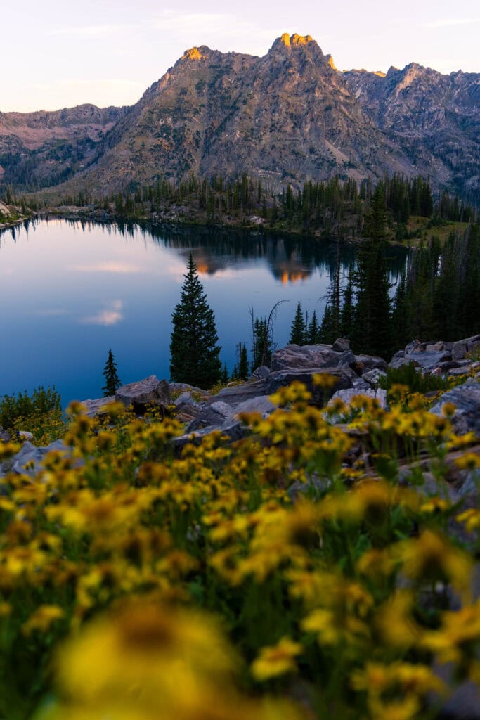
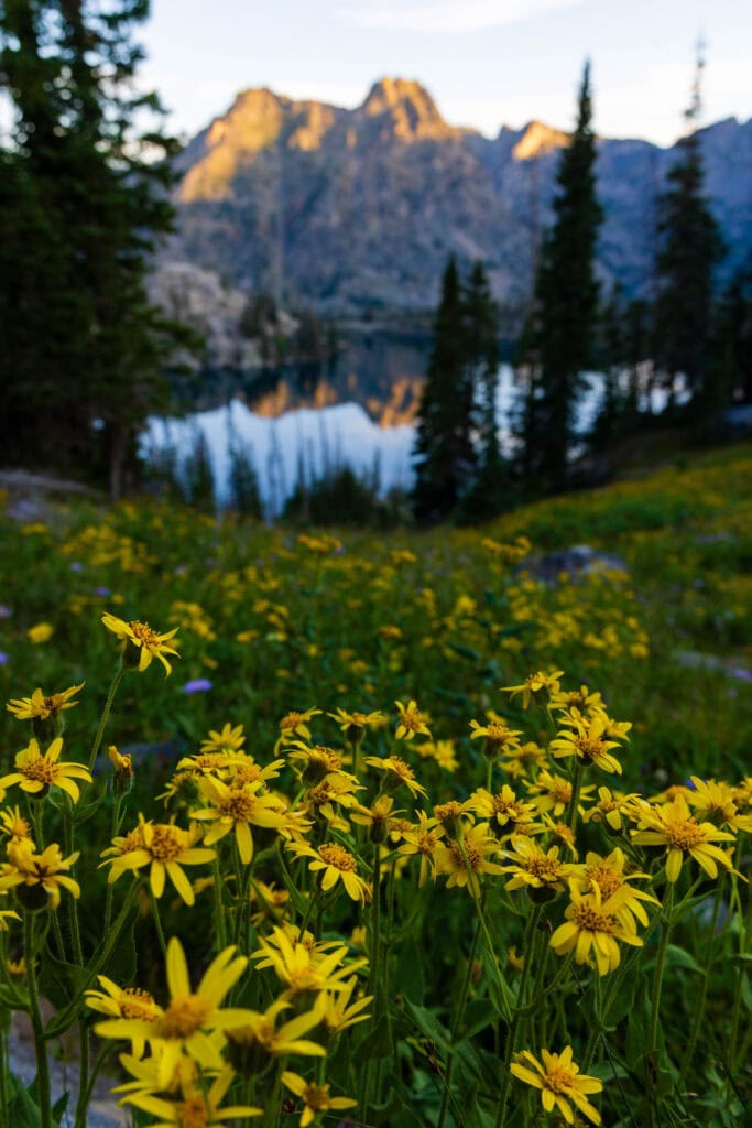
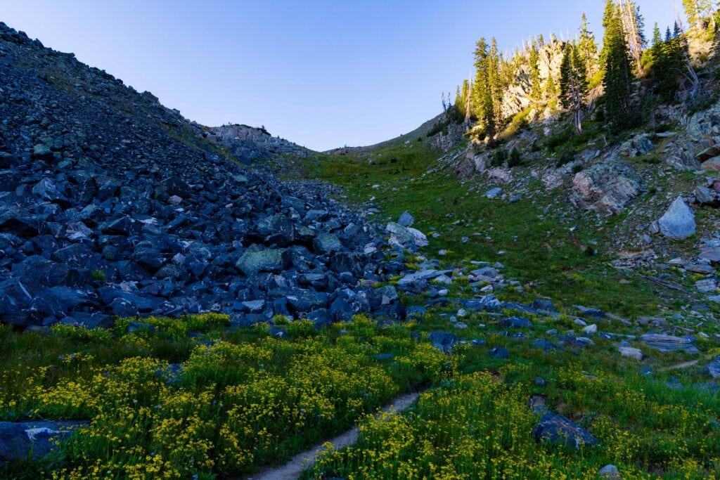
Thanks to a north-facing slope, this area was teeming with yellow wildflowers, providing unbelievable photography opportunities looking at the unnamed jagged peaks in the distance. The descent to the lake is a multitude of switchbacks, but we stopped for a longer lunch on a big rock halfway down the slope.
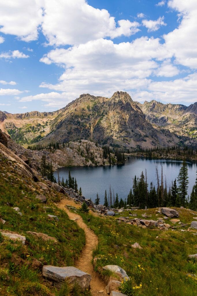
After refueling, we continued to find our campsite, set up, and then made our way back to the lake for an afternoon dip. The water was cold, but not frigid, as most of the snow in the basin had melted.
Both of us enjoyed cooling off and getting the sweat, dirt, and bug screen off our skin. After lounging in the sun, we headed back to camp to make dinner and settle in. All in all, I’d estimate we did over 7 miles on the day. And now, we only had a descent remaining.
Day 2 Sunrise around Gilpin Lake
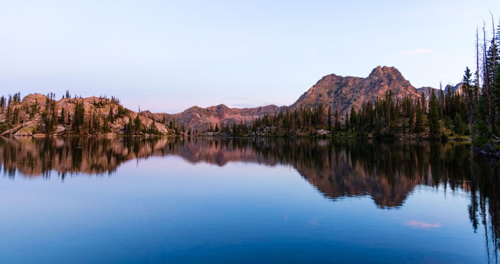
A quiet buzz and beep came from my wrist at 5:30 am. Groggily, I stirred and turned off the alarm on my Garmin Fenix 7 watch, quietly (at least attempted to be quiet) unzipped and got out of the tent.
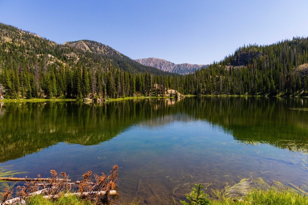
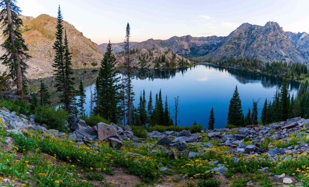
I was on a sunrise mission. I headed back to Gilpin Lake and got some nice reflections off the lake. Then I moved up the trail toward the pass. The flowers were gorgeous, and I wanted to photograph them with first light hitting the peaks surrounding the lake.
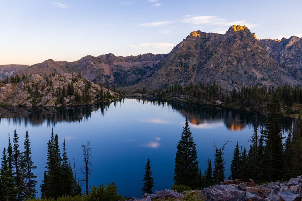
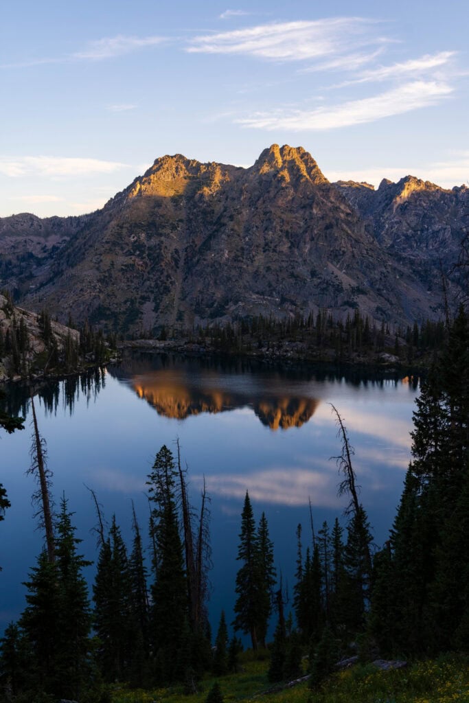
I ended up meandering so much on the trail that I made it back to where Jaimie and I had lunch, high above the lake. But honestly, this is where the best views of the trail are – especially at sunrise, as the basin is flooded with the soft early morning light.
A bit after 7am, an hour after sunrise, as I was heading down, I encountered two groups of hikers who started in the wee hours of the day. With the impending heat, they were smart to get an alpine start.
Soaking up the morning and a hot walk out
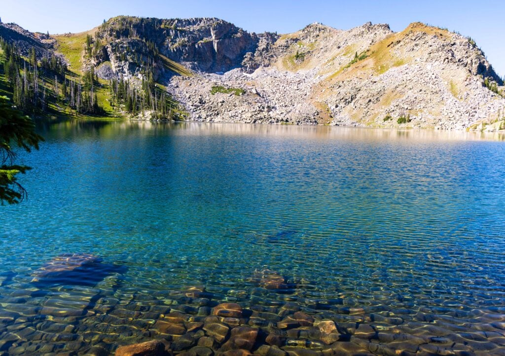
Initially, we were going to get out at 9 or 10 am, but a slow breakfast, another lake soak, and just enjoying the beauty of the area put a hold on us. So, at 11:00am on the dot, we began the 4.5-ish mile walk back to the far. It drops quickly as you leave the lake basin, transitioning to tall evergreens and lots of bushes and flowers.
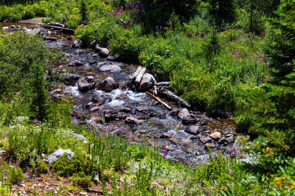
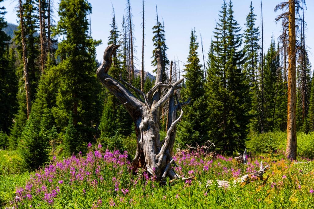
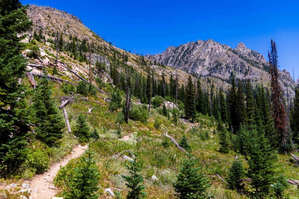
After a quick water fill-up at the creek and a log crossing, we were cruising down the trail. It was magical, thanks to all the wildflowers lining the creekside. But soon after, as we continued dropping in elevation, the temps rose, and we were roasting. At every water crossing, we would cool off, but in the dry conditions, it didn’t last too long.
Thankfully, we made it back around 1:30-2pm. By then, it was mid-80s at the trailhead, and the cool AC of the 4Runner felt heavenly once we piled in.
30 minutes later, we were enjoying ice cream from the general store in Clark, a fantastic reward for a beautiful and refreshing trip into the mountains.
Just out for a day hike? Here are some tips
- If you’re only planning a day hike of the Zirkel Circle, that’s great! There will be plenty of trail runners and other day hikers.
- I highly recommend starting very early, as in the summer months, this trail can warm up fast. Much of it is exposed, offering little sun protection during the hottest parts of the day.
- The best bang for your buck is Gilpin Lake and the hike along the creek to reach it. It was filled with wildflowers.
- If you want a quick hike to a lake, Gold Creek Lake is a moderate hike without a large ascent.
- Make sure you have a water filter with you. This will allow you to keep pack weight light and fill up as needed.
- Counterclockwise is a more gradual ascent, though both sides are not bad. Most of your incline, if you go towards Gilpin Lake first, will be in the last 1.5 miles, while the other way is just a hard .75 miles to the pass at the end.
Backpacking Gear for Trek
- 2-person NEMO Dragonfly
- Nemo Tensor All-Season Sleeping Pad
- Sea to Summit Pillow
- 15F Sleeping Bag
- REI Camping Chair
- Bear Vault Bear Canister
- 65L backpacking bag
- Jet Boil Stove
- Water filter
- Hiking Poles
- 2x Backpacking Meals
- 1x Hiking Pants, 1x Sunshirt, 1x Down Jacket, 1x Rain Jacket, 1x sleeping shirt, 1x leggings, 1x beanie and hat, 2x Socks
- Headlamp
- Canon R5 + 25-105 and 16-35 + batteries
More Photos from the Zirkel Circle
FAQ for the Zirkel Circle Trail
You have to camp 1/4 of a mile from both Gold Creek Lake and Gilpin Lake. For Gilpin Lake, many of the campsites are down the hill from the lake.
Obviously, no one’s out here with a tape measure. The point is to create a distance from the lake to keep the water clean and ensure a more hospitable environment for those visiting. Do your best to find a place outside of the 1/4 mile range.
The yellow markers are potential campsites. 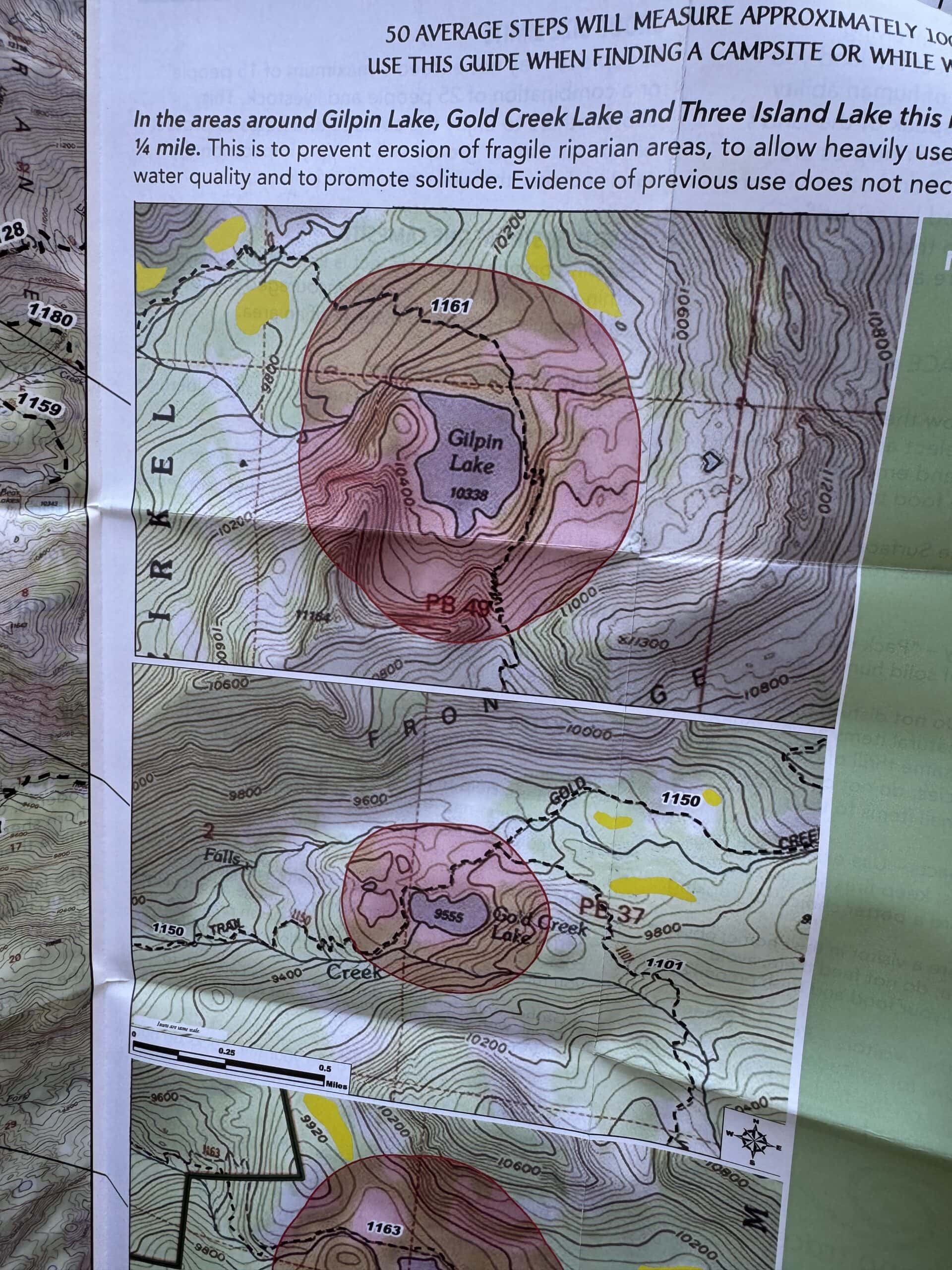
This trailhead gets you deep into the Mount Zirkel Wilderness. Other popular trails connect you to Mica Basin (9 miles, 2,200 feet of gain); take the Gilpin Trail for about a mile and then branch off. Or you can try to tackle the summit of Mount Zirkel. The easiest route is via Gold Creek Lake.
Closer to the paved road, you can take a right and get to a trailhead which brings you to Three Island Lake. This is a seven-mile trail with 1,500 feet of gain.
It’s around an hour drive from Steamboat Springs to the trailhead. It’s a truly beautiful drive through a valley and along a creek. It is quite curvy, so you can’t speed through it. And the last six miles are on a grated road that any car can drive on.
This region of the Colorado Rockies is not as high as those near Breckenridge or Silverton. Not that they are short. But the highest point on the trail is 10,700 feet. So, one, it makes hiking easier. But it also means temperatures will be warmer.
The trail starts at 8,300 feet, which means it is only 9-12 degrees cooler than Denver. Keep that in mind when planning your hike. Our days were SWELTERING during a recent heat wave.
If you are backpacking, you must have a bear canister like this one. This protects bears and other animals from eating human food, as well as from approaching camp and messing with you.
Final Thoughts on Backpacking the Zirkel Circle
While the first half of the trail along the Gold Creek side is fine, the true ‘wow’ factors start once you crest the ridge and finally have your first view of Gilpin Lake and the mesmerizing jagged peaks surrounding the basin.
It was by far my favorite part of the hike and shows how grandiose this region is. It’s also why I suggest going counter-clockwise so you are looking at the nice views hiking down, without being super tired and winded.
You could save 2-3 miles and go to Gilpin Lake if you’re looking for a shorter trek. But to say you completed the Zirkel Circle is pretty cool, and at 12 miles and 2,500 feet of gain, it’s a pretty gentle hike overall that most fit Colorado hikers will handle quite well.
Until next time, adventurers, stay safe.
Follow on social media: TikTok || Instagram || Facebook || Newsletter | YouTube