Hiking Guide to South Arapaho Peak, a Beautiful Colorado 13er
It had been a long while since I’ve done a 13er in Colorado. Six years, in fact, since I last got up to TriCo Peak in the San Juans. When I suggested we tackle South Arapaho Peak, Jaimie was slightly nervous but down for it. (She’d never been above 12,750.)
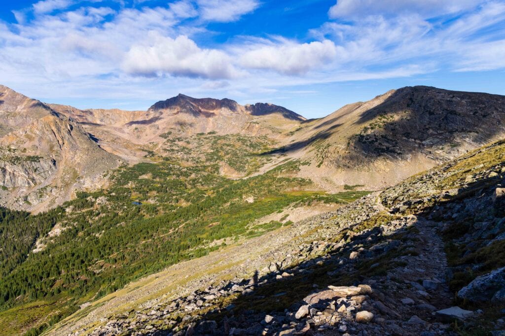
This trail turned out fantastic, giving us 10/10 views, great conditions, and a chance to push us to new heights. If you’re looking for a really nice trail to start your 13er journey, or get out and enjoy Mother Nature on one of Colorado’s better trails, South Arapaho Peak is calling your name!
Trail Report for Summiting South Arapaho Peak
1-Minute Trail Details for South Arapaho Peak
- Trail Distance: 8.5 miles
- Elevation Gain: 3,500 feet
- Height: 13,408 feet
- Difficulty: Hard, but just class 2
- Trailhead Location: 4th of July Trailhead near Nederland (get there early)
- Distance from Denver: 90 minutes
- Are drones allowed? Not on the approach, but the summit is not in the Wilderness Boundaries.
- Summit date: August 23, 2026
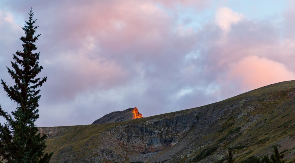
4th of July Trailhead
The hike starts at the 4th of July Trailhead, one of the busiest in the area and relatively small for something with like five trails off it. We had a 4:15am alarm and left home a bit after 4:40am. By 6:10, we were parked on one of the last roadside parking spots about 0.15 miles from the trailhead.
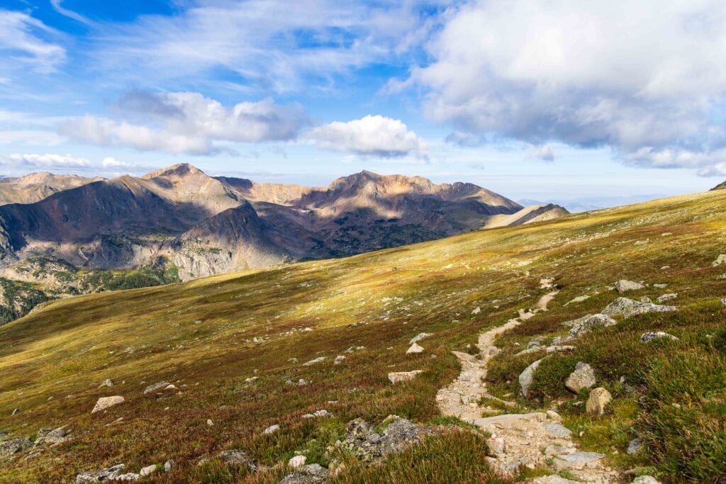
The first two miles are on the Arapaho Pass Trail, which to me is a cruiser trail. It starts a little steep but eventually is super nice and easy to move quickly on. This is a popular trail to reach Lake Dorothy or Caribou Lake (below the pass on the western side of the Continental Divide).
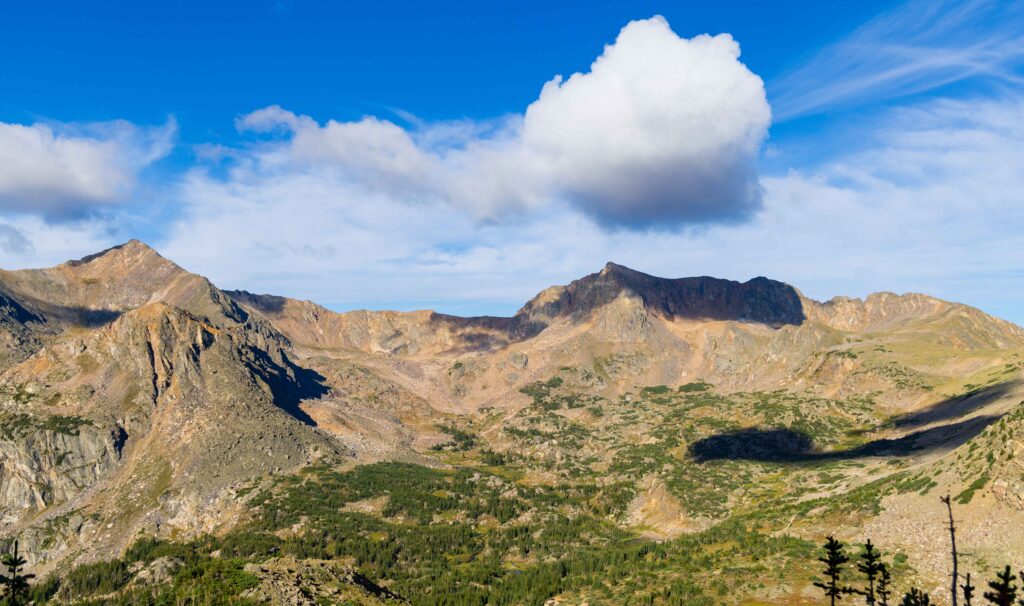
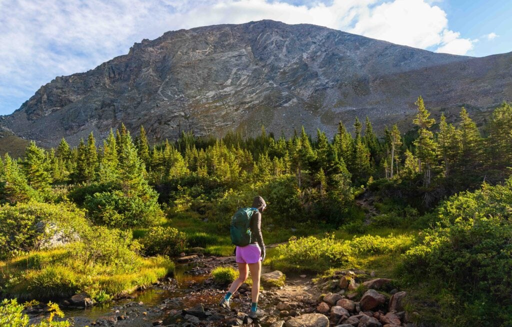
After two miles, we turned right at the trail junction for Arapaho Glacier. The trail passes a nice stream where you can fill up water. This is the last good water source of the hike. At this point you’re at 11,200 feet, with another 2,000-ish to go. However, don’t let it feel daunting.
Switchbacks into the sky
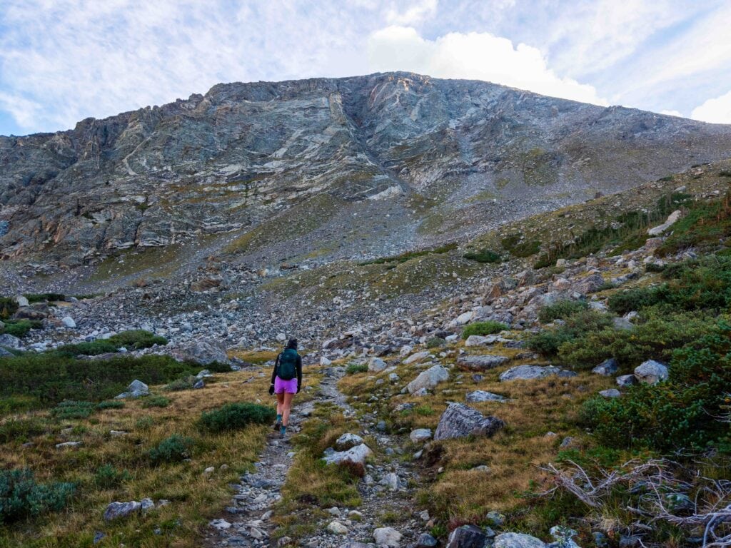
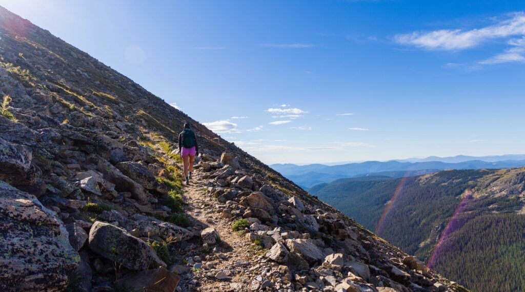
The switchbacks are long and gradual, taking you up the side of the mountain before looping you around to reach the final incline to South Arapaho Peak. We made great time, taking a break at the top of the switchbacks near the 3.2-mile mark, just over 12,100 feet.
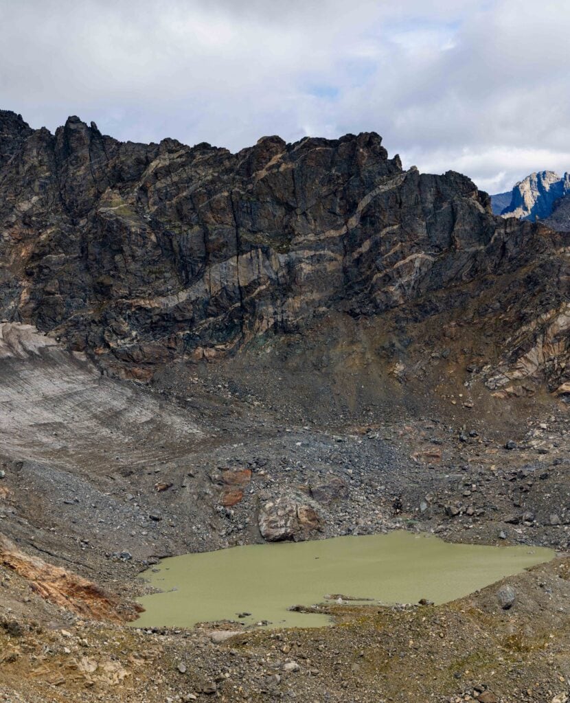
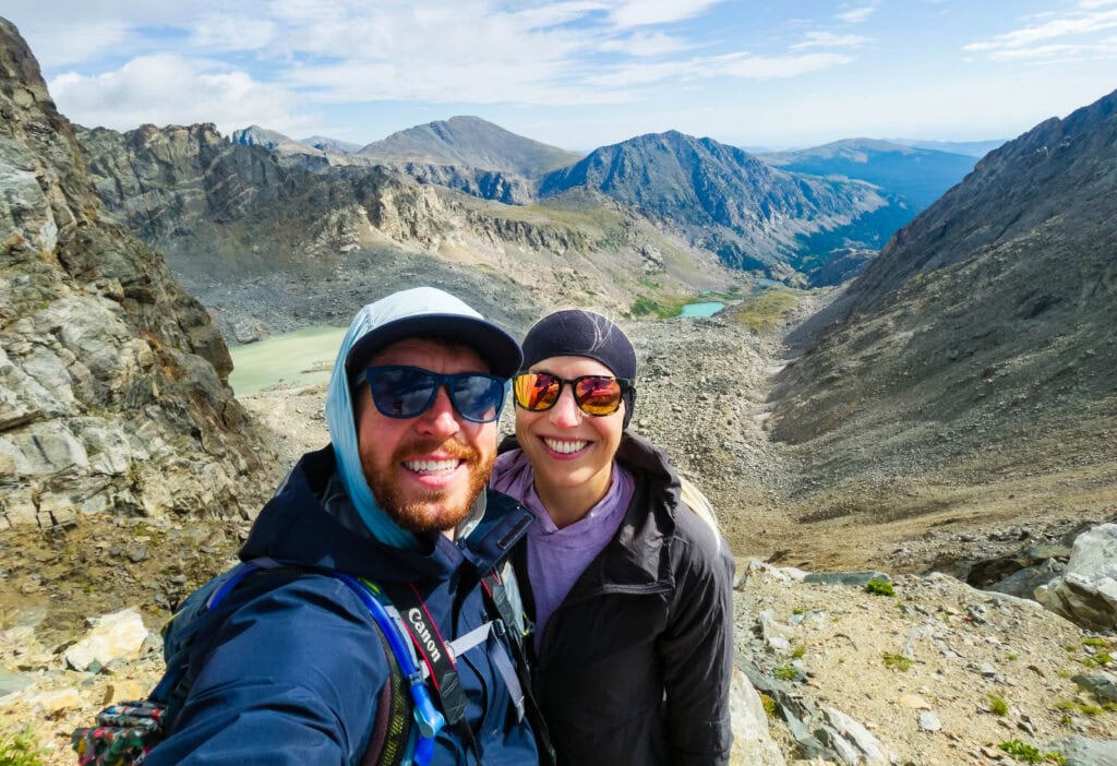
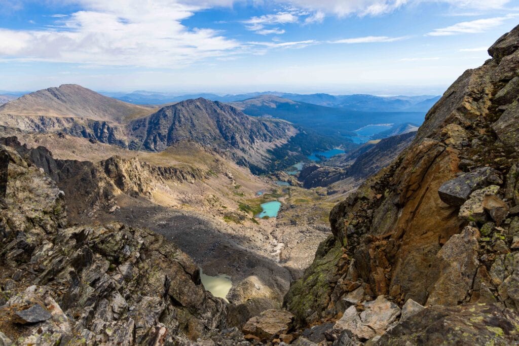
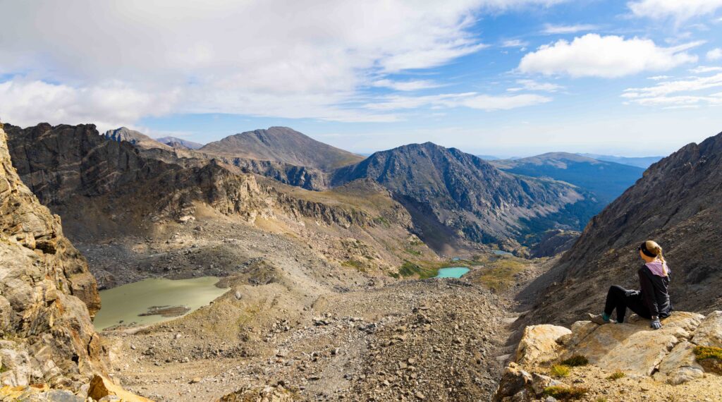
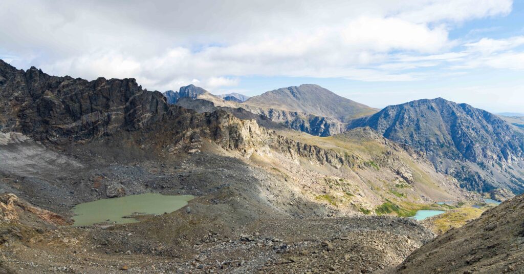
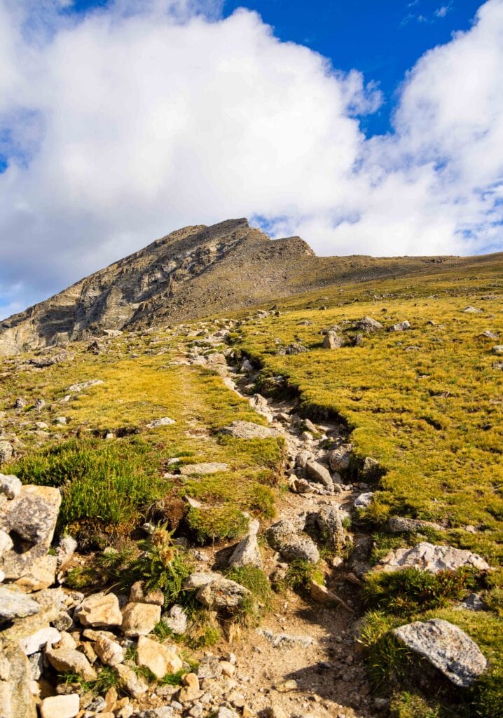
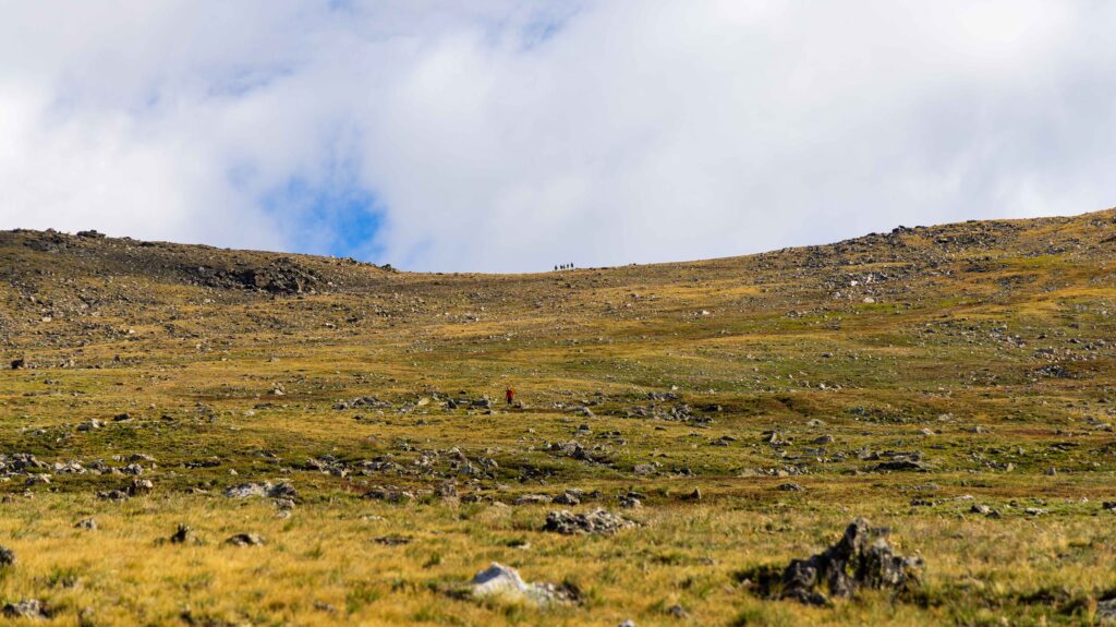
The last section before the rocky uphill felt long and monotonous, as we stared at the final objective that never seemed to get closer. But then we reached the spine and looked over at the Arapaho Glacier and the turquoise lake below. This is also a junction for the much easier Old Baldy Trail, which is also a 13er. But we wanted the better view and the tougher climb.
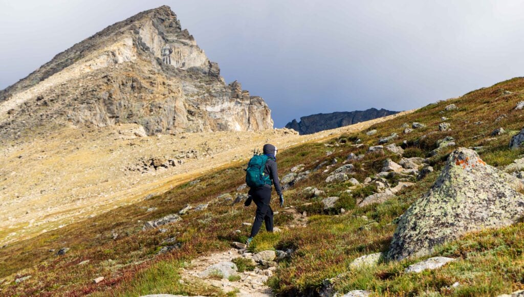
After a quick break to soak up the views and catch our breath (we were around 12,700), we began the final half-mile push to the summit.
Easy Booking: Expedia.com | Hotels.com | VRBO | Booking.com | Airbnb.com
Need Gear: Find Gear at REI
Find Awesome Tours: Viator.com or GetYourGuide.com
First time here? Stay in touch by following on IG: @Alecoutside and my newsletter
Iceland on your bucket list? Get my Iceland guide + 144 pinned locations on Google Maps
Please stay safe out there and follow Leave No Trace principles as best you can.
To the summit of South Arapaho Peak
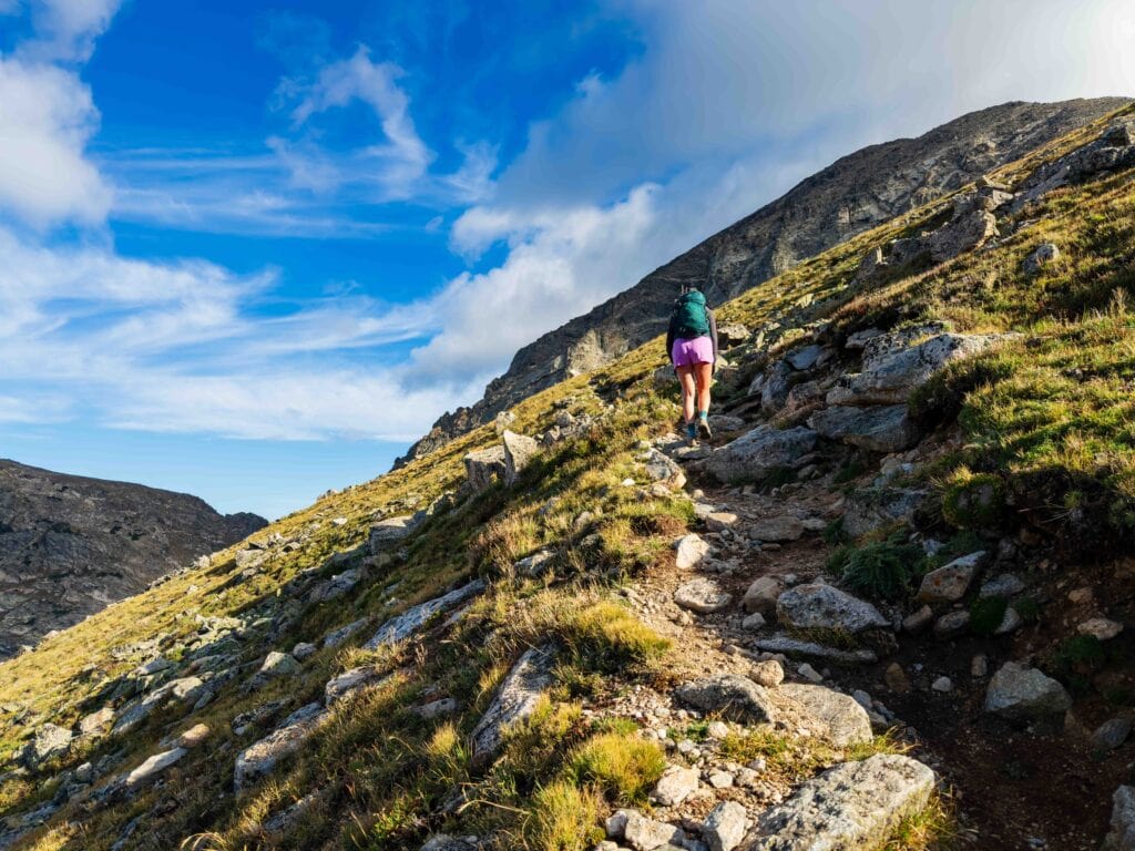
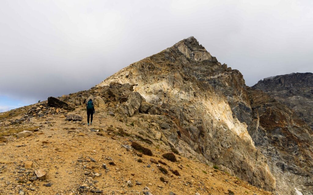
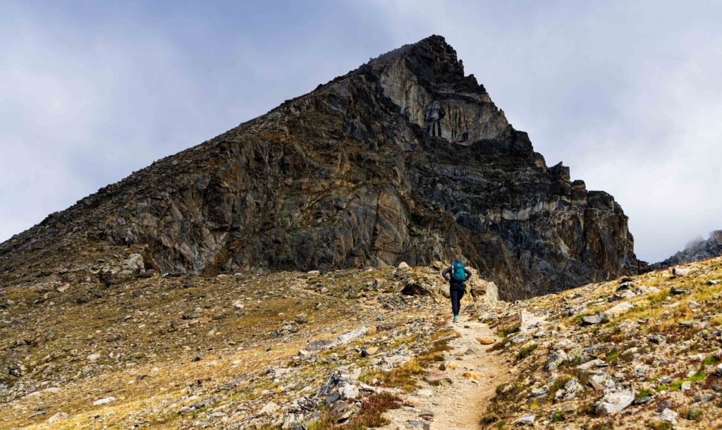
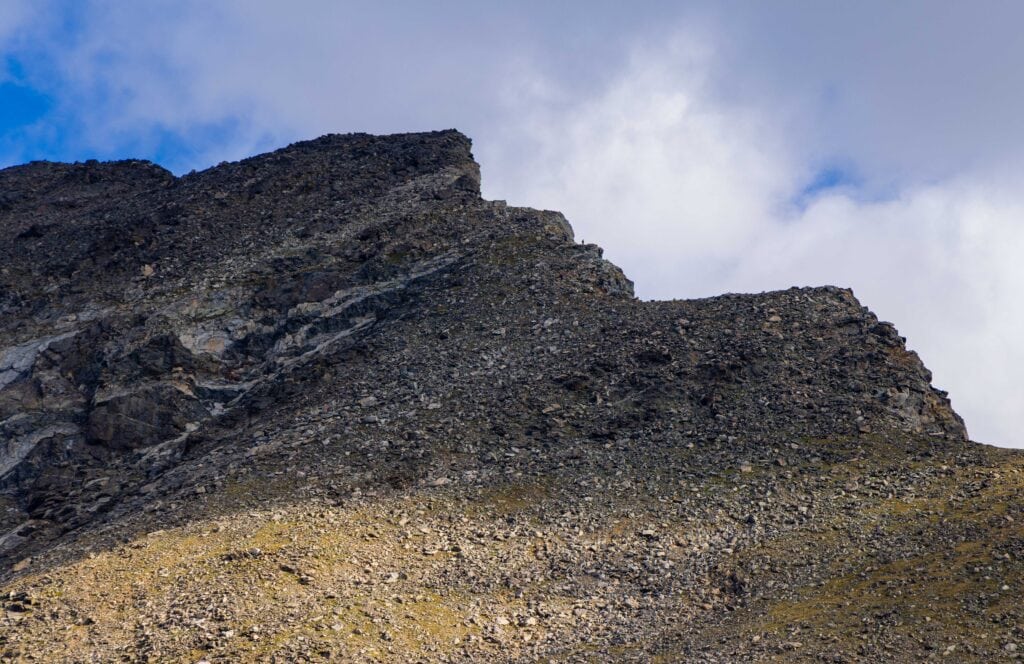
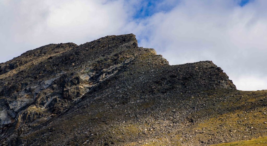
This requires some route finding, but generally, you can sniff out the trail as it climbs up and around the false summit. I recommend downloading the trail on AllTrails or GaiaGPS to make sure you don’t stray too far left as you hike up. Overall, I wouldn’t say there are any dangerous sections, or a risk of falling more than a couple of feet if you slip.
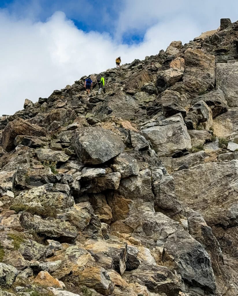
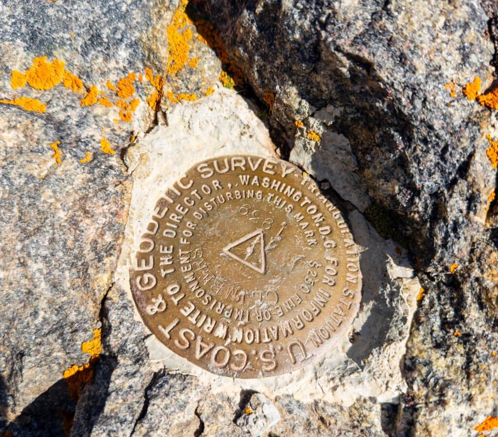
Once you get high enough and next to the false people, you will see South Arapaho Peak just another 80 feet above. Once you can see the summit, it’s an easy walk to the 13,408-foot top.
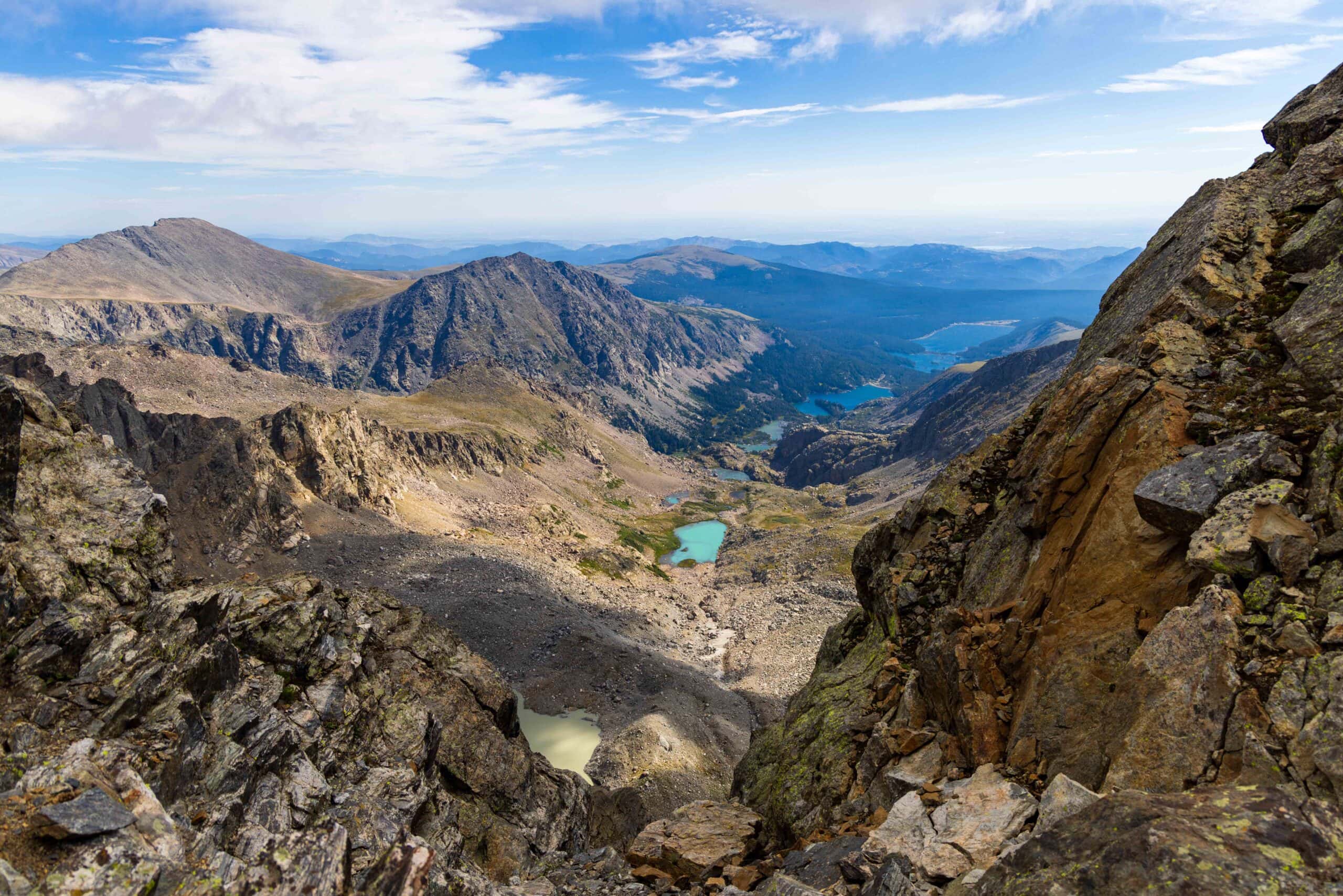
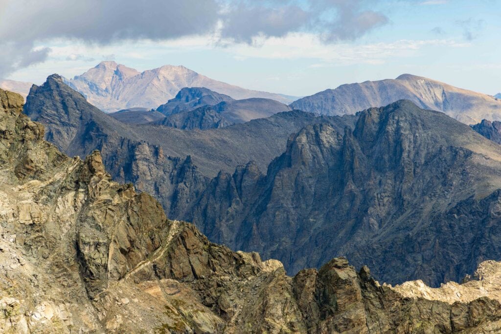
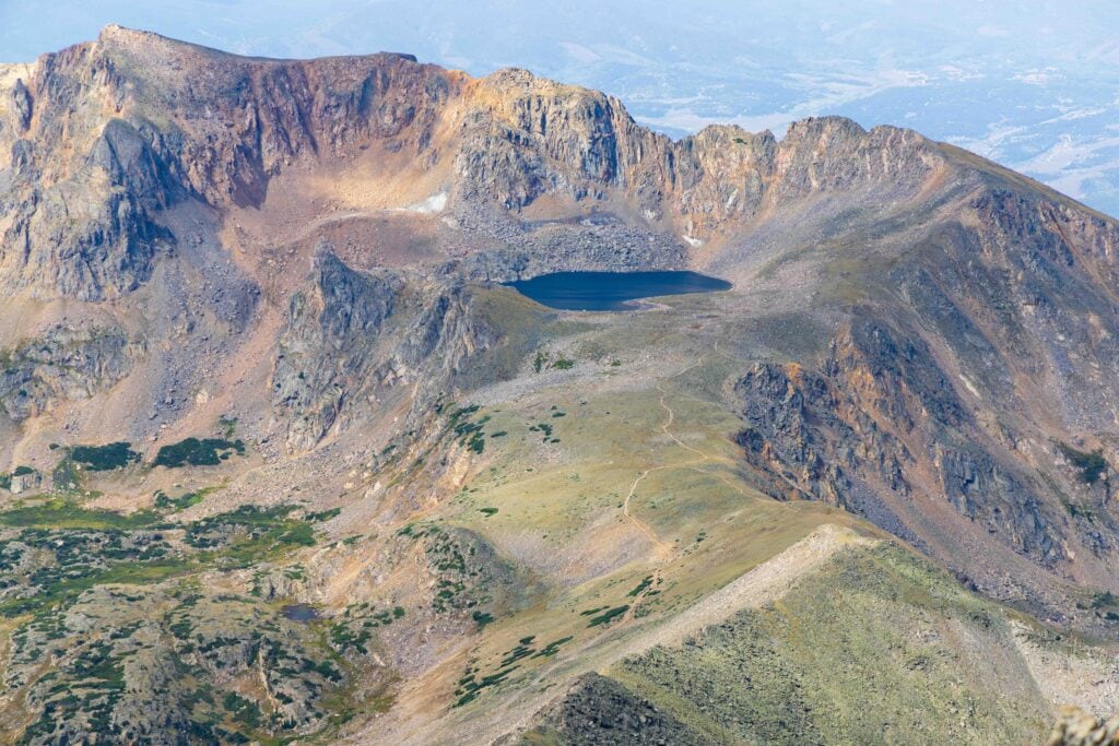
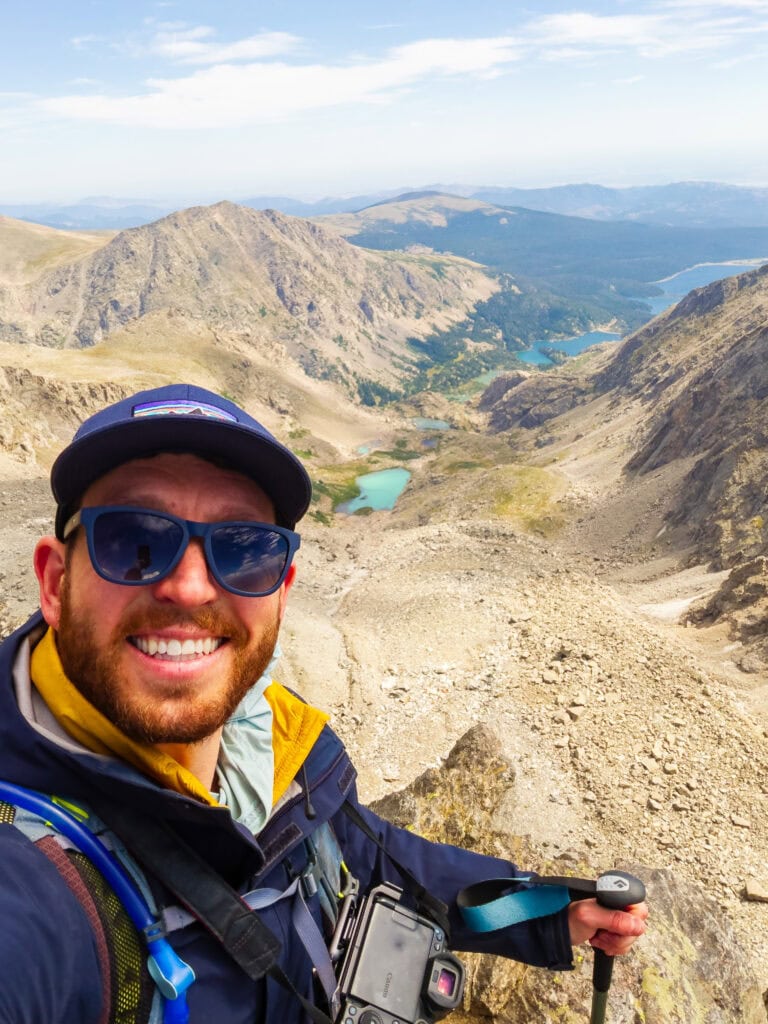
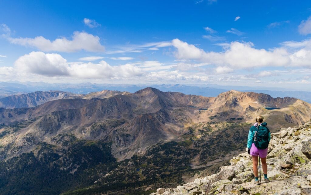
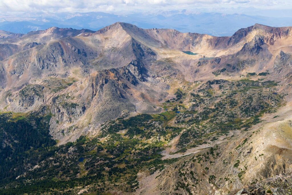
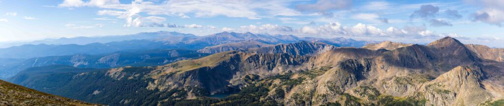
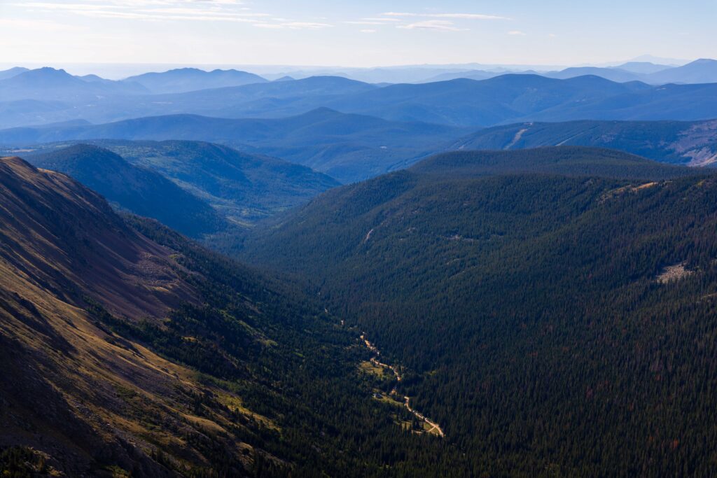
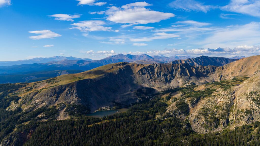
From the peak, you have GORGEOUS views. I was honestly pretty shocked at how pretty the 360-degree views were. There were maybe 8-10 lakes in eyesight, along with the Arapaho Glacier down below. You also had views out to Rocky Mountain National Park, the Gore Range, Breckenridge, and Pikes Peak far to the south.
The most prominent lake is Dorothy Lake, which I had hiked to a month before. The trail slicing through the alpine tundra up to the lake looked pretty cool from above.
Heading down
After hanging out at the top for 30 minutes, we started down. Although there were some clouds in the sky, nothing looked ominous or threatening, so we didn’t feel rushed.
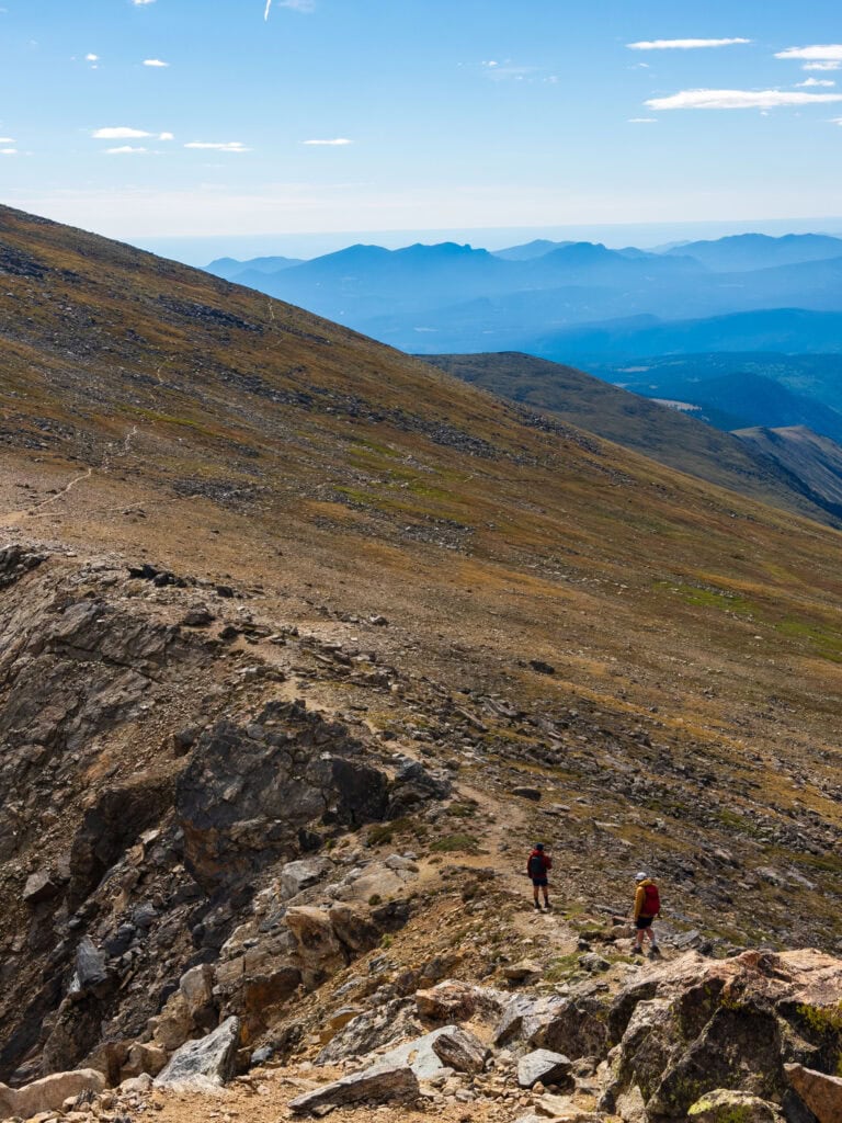
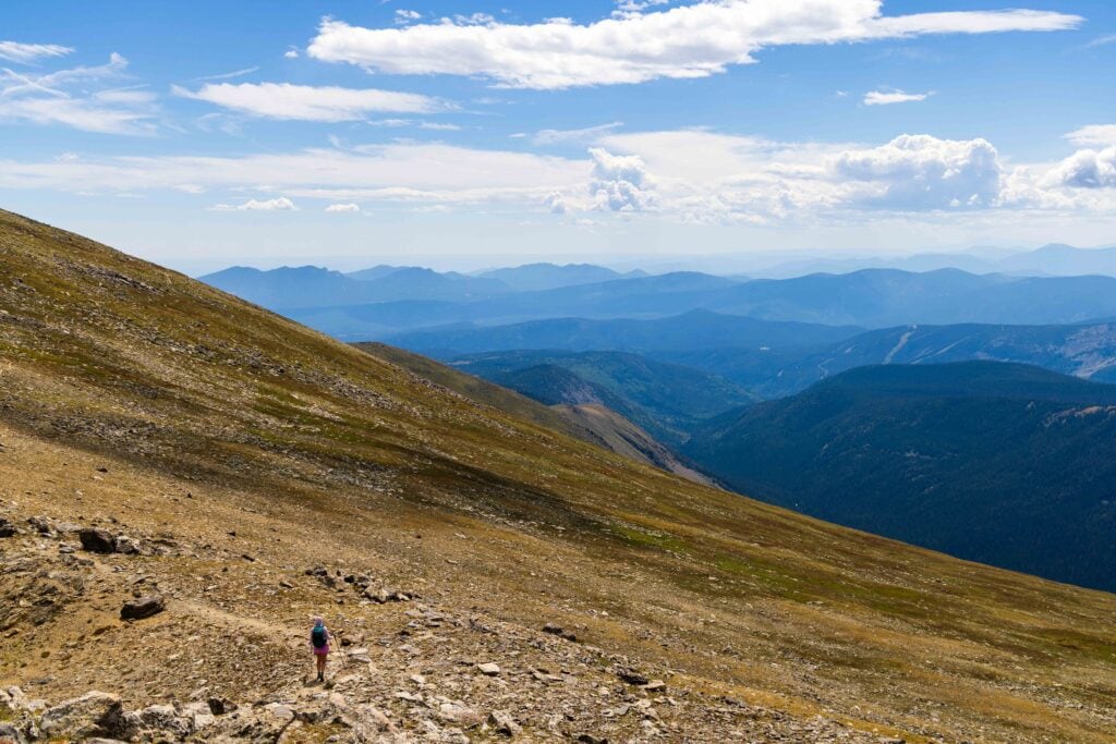
The rocky section took us 45 minutes to get down, as we took things slowly and carefully (and oohed-and-ahhed at the views). Once we got back onto the main trail, it was like a weight came off our shoulders. It’s not that it was hard, but you have to be mentally careful with your footing, which is exhausting.
From there, it took us an hour to reach the junction back to the trailhead. This also included a 20-minute food break as I had lost my appetite at the top. Once we were on the Arapaho Pass trail, we moved quickly, though we both were feeling tired. The last half mile seemed to take forever, but then we heard a car door slam and knew the end was near!
Post-Hike Beers and BBQ
After getting through the dirt road, we made it back to Nederland, tired, but happy! We first stopped at Knotted Root Brewery for a quick taste, but realized they didn’t have the food we were looking for. We drove a couple more minutes back to the town center to Busey Brews Smokehouse and Brewery.
The hefe I got wasn’t as good as I hoped, but the barbeque was AMAZING! I had the brisket sandwich with cornbread and mac and cheese. I couldn’t have asked for a better meal. Just. So. Freaking. Good! Jaimie also loved her brisket platter.
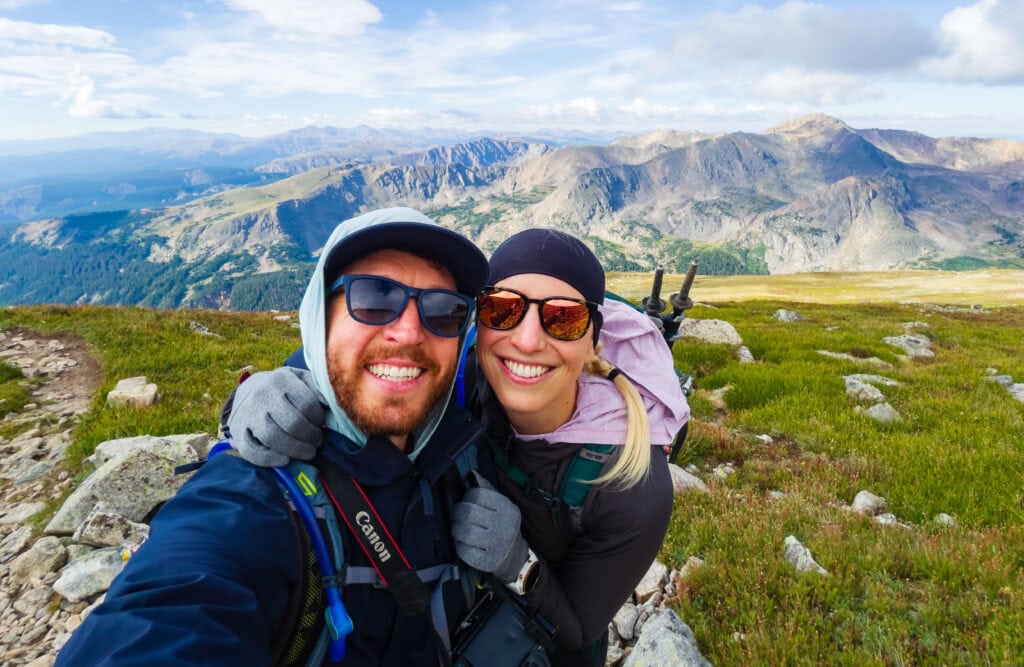
It was a fantastic day summiting South Arapaho Peak, and I couldn’t have been prouder of Jaimie for tackling a hike that she maybe thought was a bit out of her range. But she crushed it and showed that she has it in her to try trails that are more than a simple walk up.
Ultimate Guide to Hiking South Arapaho Peak in the Indian Peaks Wilderness
How early does this trailhead fill up on the weekends?
Early. For our Sunday hike, most parking was full by 6:10am. When I hiked to Dorothy Lake on a Wednesday, it was getting full by 7:20am.
How hard is this hike?
I would put this at a 6/10 on the hard scale. It’s tough, but nothing overly challenging for those who can hike 8-10 miles with over 3,000 feet of gain. I will say, though, living in Denver helps a ton when it comes to handling the altitude. If you were coming from Miami, you’d probably find this much harder.
How long did the trail take you?
Including our breaks, this trail took us a little over 7 hours to complete. We started a smidge after 7am and hit the parking lot after 2pm. We could have moved faster, but thanks to the beautiful weather, we didn’t need to rush either way and tried to enjoy it as much as possible!
Is there water to fill up on the way?
Yes! There are a decent number of water spots during the first two miles of the trail before the junction. Then, two minutes after you make your right turn toward the switchbacks, you’ll cross a nicely flowing stream that is great for a fill-up.
After that, don’t expect much water access, especially later in the season.
Do I need a helmet for South Arapaho Peak?
Nope, you don’t need a helmet for this peak. You’re never hiking in a steep enough section where rocks could come crashing onto your head. Now, if you want to bring it for utmost safety, go for it. But I wouldn’t say it’s necessary.
Here’s a gear guide for 13ers and 14ers.
Remember to get below ridgelines by 12-2pm.
Typically during the Colorado summer, storms hit the mountains in the afternoons. That is why the common wisdom is to be off summits and ridgelines before 2pm, at the latest. Now, this is not exact science. You need to look at the weather forecast and the sky for what’s happening in front of you.
If it’s 11am and you’re still hiking up and huge storms are building, it’s best not to risk it. For our hike, we had clouds in the sky, but nothing was building, and none of it looked hazardous. That said, we were still heading down around 11am to ensure that if something did happen, we were in a better place.
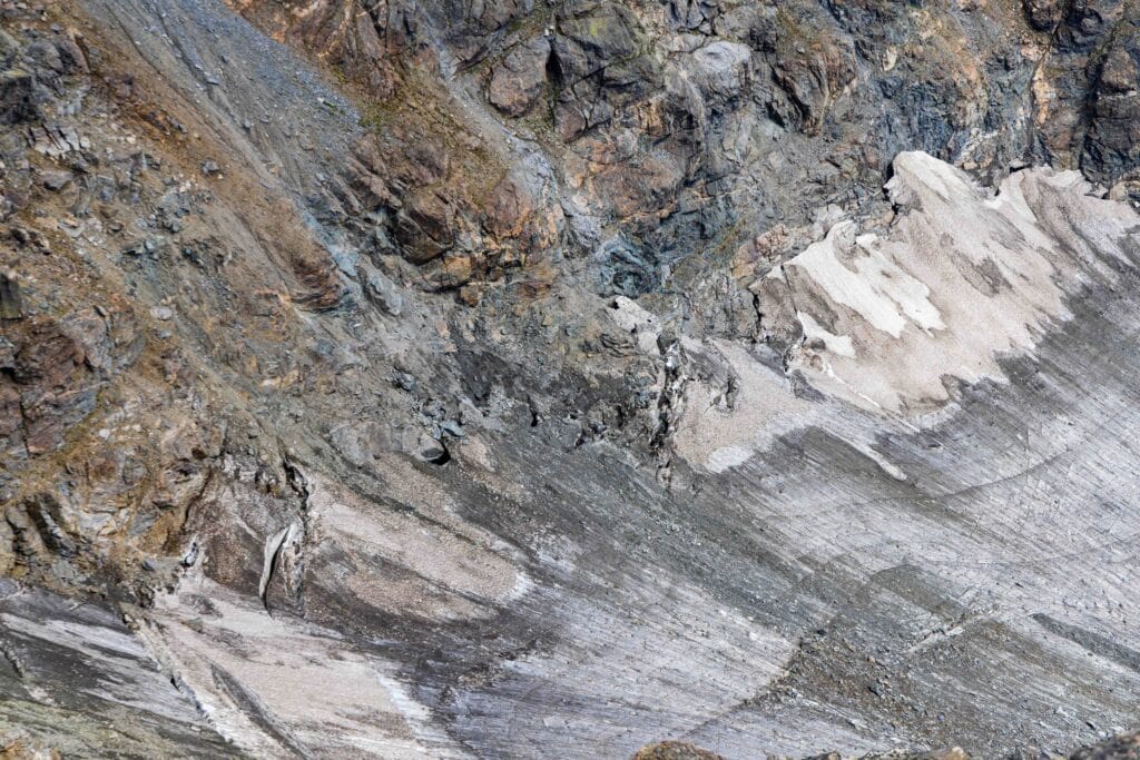
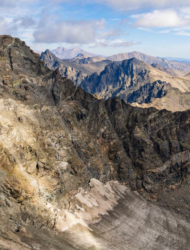
Views of Colorado’s largest glacier from the top
Colorado’s largest glacier is the Arapaho Glacier, which you can see from the tops of North and South Arapaho Peaks. As our glaciers melt thanks to a warming planet, I’ve been trying to see and document as many glaciers as possible before they melt away.
More Photos From the Colorado Rockies
Hiking Gear Suggestions
- Hat – either wide-brimmed or this Patagonia style
- Sunblock
- Trail Runners – Altra Lone Peaks are my go-to
- Sun Shirt or Sunhoody – Colder conditions: REI Sahara Shade, Warmer Conditions: Patagonia Capilene, Other good ones: Fjallraven Abisko, Outdoor Research Astroman
- Hiking Shirt – Patagonia Capilene is my favorite
- Rain Jacket – Torrentshell 3L Jacket
- Hiking shorts – Fjallraven or these from Prana
- Wool hiking socks – Darn Tough is fantastic
- Sunglasses – Goodr are perfect without breaking the bank
- Hiking Pack 15-25 liters is perfect for a day hike – This one’s on the smaller end, here’s a 25L option
- At least 2L of water and bring this easy-to-use 1 L filter
- Snacks and a sandwich – bring something salty to help with sodium replenishment
Final thoughts on summiting South Arapaho Peak in Colorado
This was one heckuva day exploring more of the Indian Peaks Wilderness outside of Denver. It’s quickly become one of my favorite places to hike, thanks to its proximity to home. If you are looking for a great 13er to whet your whistle on, I think you’ll love South Arapaho Peak.
It’s got everything for you. Great views, nice terrain, and a little mini-scramble near the top to warm you up for future adventures. Hopefully this inspires you to get out and see new places!
Until next time, adventurers, stay safe.
Follow on social media: TikTok || Instagram || Facebook || Newsletter | YouTube