The 16 Best Hikes Near Vail, Colorado You’ll Love
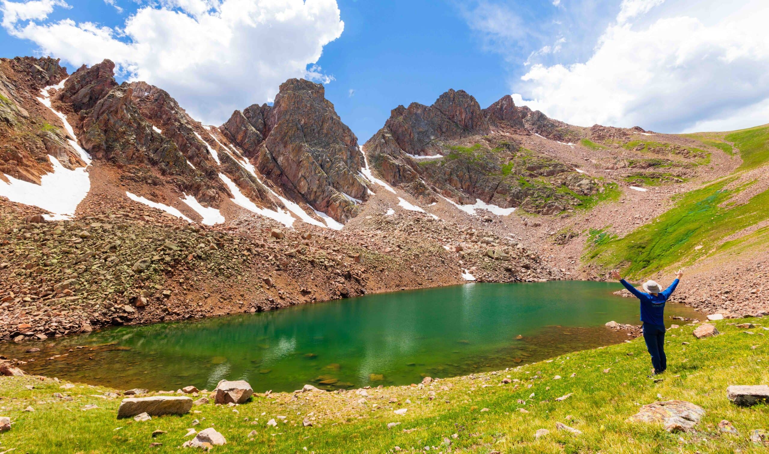
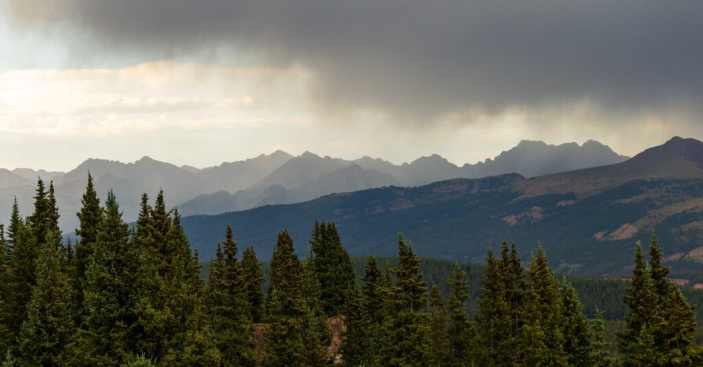
Thanks to the impressive Gore Range, the hiking in Vail is some of the best in the state. While many Colorado Rockies peaks are rounder, the Gore Range offers jagged, craggy mountains that will make your eyes light up.
Add plenty of other easy-to-access points, such as Vail Pass or the Holy Cross Wilderness to the southwest, and you’ll find plenty of hiking options for anyone spending time in Vail.
Below, you’ll find my list of the best Vail hikes, with all the trail beta you’ll need for a great outing, and places to stay while you’re in Colorado.
These are the 16 Best Hikes Near Vail You’ll Love
Here are 16 hikes near Vail that hit various difficulty levels. There are so many more, but you may need to drive a bit further. I tried to keep these around Vail Pass, Vail Valley, and up to Minturn/Red Cliff. I’ve included three at the bottom that are outside of Vail Valley, but are well worth the 45-minute drive.
1. Gore Lake and Snow Lake
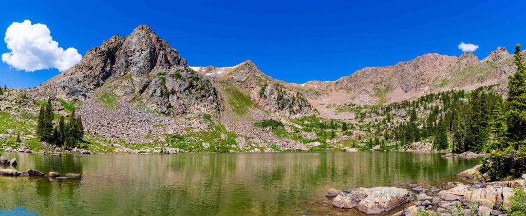
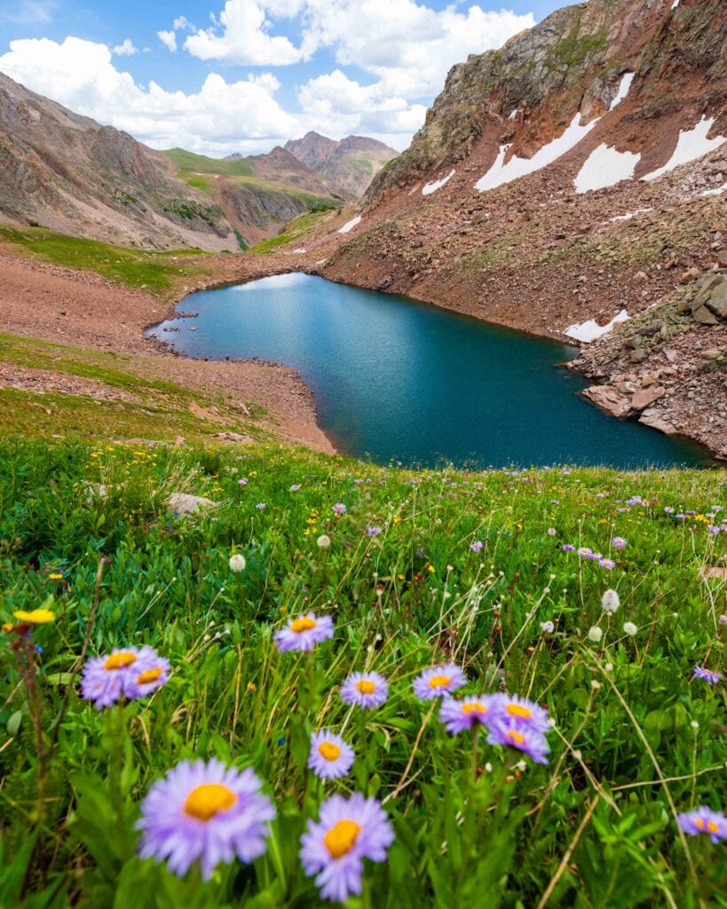
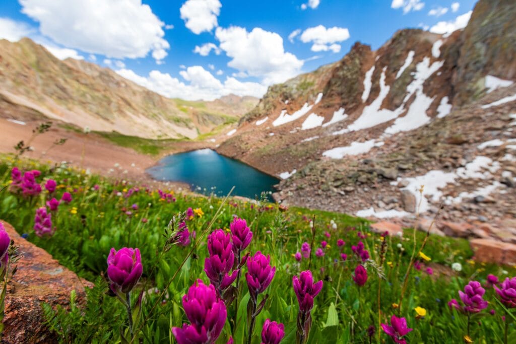
This incredible hike showcases the beauty of the Gore Range. While it’s a long trek to reach the lake, the creek trail is beautiful and makes for an easier day hike. During the summer, it’s teeming with wildflowers. In the fall, the aspen along the creek turn a lovely gold.
It’s also a nice backpacking trail for those looking to spend a night in the wilderness.
The Snow Lake portion is off-trail and not recommended for those without route-finding ability.
Distance: 13-15 miles
Difficulty: Hard
Elevation Gain: 3,000-4,000 feet
AllTrails Link
2. Booth Falls
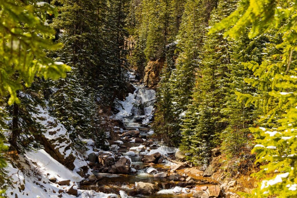
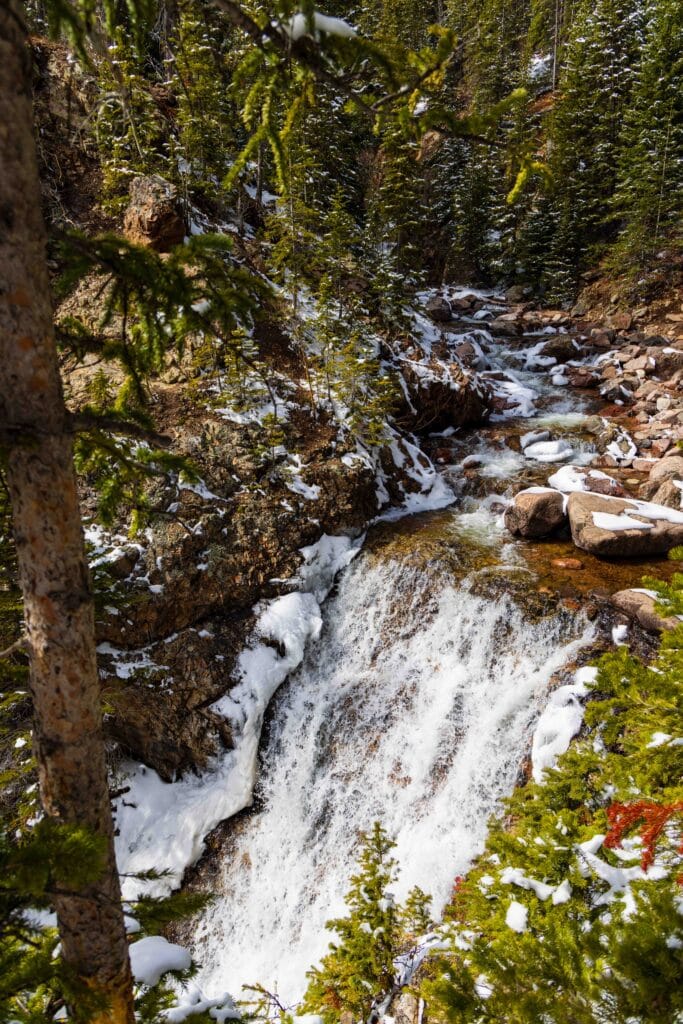
This was my first Vail hike in more than a decade. We tackled it in mid-April, during mud season, so it wasn’t super pretty. That said, the falls were roaring. It’s a decent amount of elevation gain in a short time, but nothing terrible. While most visitors turn around at the falls, you can keep going to Booth Lake. It’s another 3 miles and 1,700 feet of gain.
The main waterfall is hard to see well and has a serious drop-off section. Please be careful near the edges.
The parking lot is really small, so I recommend taking the bus here. It drops you off just below the trailhead.
Distance: 4 miles
Difficulty: Moderate-Hard
Elevation Gain: 1,300 feet
AllTrails Link
3. Shrine Ridge Trail
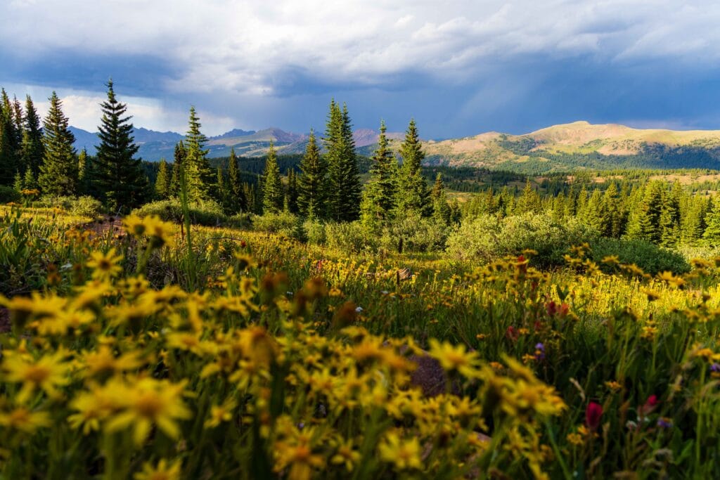
One of my favorite easy summer hikes near Vail! Exit I70 at Vail Pass and drive a couple of miles on the dirt road (not too shabby) until the trailhead.
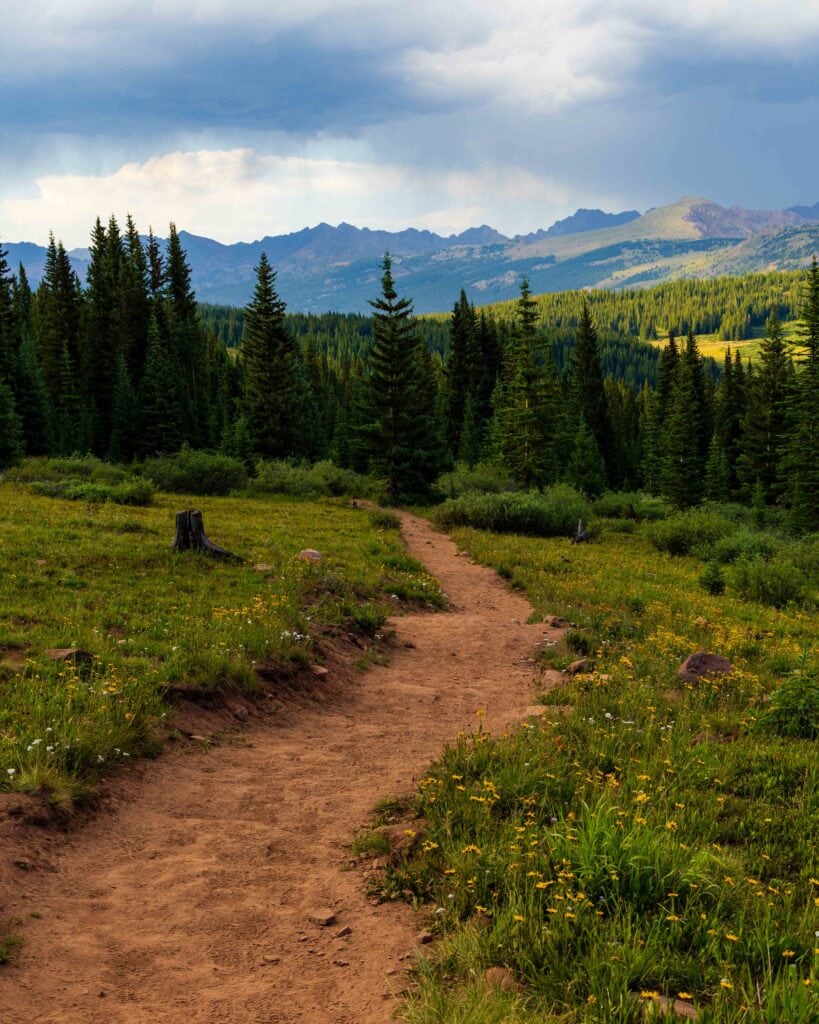
Here, it’s only 2-ish miles to the top. It’s full of beautiful wildflowers, and once you hit the ridgeline, you have near 360-degree views of the Gore Range to the north, the Ten-Mile Range to the east, and the Sawatch Mountains to the south.
It’s one of Colorado’s best bang-for-your-buck trails.
Distance: 5 miles
Difficulty: Moderate
Elevation Gain: 1,000 feet
AllTrails Link
4. Missouri Lakes and Fancy Lakes Loop
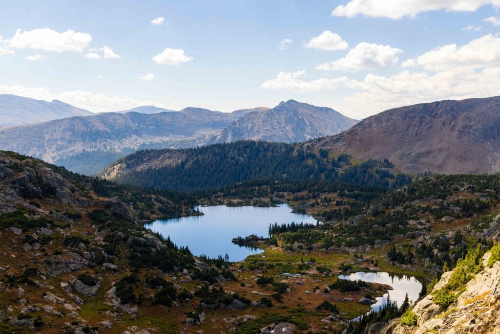
This is one of my top trails in Colorado. You can do this as a loop, or as a much easier day hike to Missouri Lakes. The views are insane, and you get to see such a diverse landscape in only nine miles. Jaimie and I backpacked it (slept at Missouri Lakes) and then did the final 4-5 miles clockwise to wrap up the overnighter.
The road in is a long dirt road, but nicely maintained and is really pretty in its own right.
Distance: 9 miles
Difficulty: Moderate-Hard
Elevation Gain: 2,600 feet
AllTrails Link
Easy Booking: Expedia.com | Hotels.com | VRBO | Booking.com | Airbnb.com
Need Gear: Find Gear at REI
Find Awesome Tours: Viator.com or GetYourGuide.com
First time here? Stay in touch by following on IG: @Alecoutside and my newsletter
Iceland on your bucket list? Get my Iceland guide + 144 pinned locations on Google Maps
Please stay safe out there and follow Leave No Trace principles as best you can.
5. Upper Piney River Falls Trail
The trailhead sits at Piney River Ranch, reached via Red Sandstone Road, a long gravel drive north of Vail. The trail skirts Piney Lake and follows the Piney River through meadows beneath the Gore Range inside the Eagles Nest Wilderness.
Plan on roughly 6 miles round trip with modest elevation gain. Reaching the upper falls involves some scrambling over rock, which gets slippery when wet, so wear footwear with good traction.
Distance: 6 miles
Difficulty: Moderate
Elevation Gain: 700 feet
AllTrails Link
6. Berrypicker Trail
Berrypicker starts in Lionshead Village, crossing Gore Creek beside the Eagle Bahn Gondola, and climbs roughly 2,000 feet over about 4 miles to Eagle’s Nest. The grade is steep in places as it switchbacks through aspen groves and ski-run meadows that fill with wildflowers in summer.
Openings along the way look across the valley to the Gore Range. Many hikers ride the gondola down; check current gondola hours and ticket policies before heading up.
Distance: 7 miles
Difficulty: Hard
Elevation Gain: 2,200 feet
AllTrails Link
7. Mount of the Holy Cross Trail (14er)
The standard route begins at Half Moon Trailhead at the end of Tigiwon Road, a rough dirt road near Minturn. Hikers crest Half Moon Pass, descend nearly 1,000 feet to East Cross Creek, then climb the bouldery north ridge to 14,005 feet.
Expect about 11 to 12 miles and 5,600 feet of total gain, since you must regain the pass on the return. Start before dawn to avoid afternoon storms, and pay close attention to route-finding on the descent.
Distance: 12 miles
Difficulty: Strenuous
Elevation Gain: 5,500 feet
AllTrails Link
8. Walking Mountain Tour
Walking Mountains Science Center offers free naturalist-led hikes from its Nature Discovery Center near Avon. The walks move at an easy pace, with stops to cover wildflowers, wildlife, and the ecology of Vail Mountain’s high-elevation forest.
They work well for families or visitors still adjusting to altitude. Check the Walking Mountains calendar for current dates and registration. My parents did this and really enjoyed learning about the area from the naturalists.
Distance: Short loop
Difficulty: Easy
Elevation Gain: Under 100
AllTrails Link
9. Gore Creek Path/Gore Valley Trail
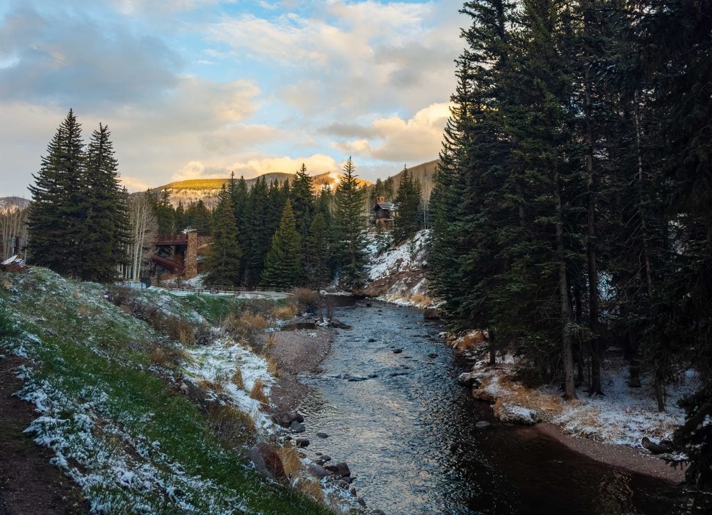
This is a really nice walking path along the creek and connects the Vail Valley east to west. It’s 19 miles end to end, but you can choose how far you want to go. If you’re looking for a nice walking or running area while visiting Vail, this is a perfect place to stretch your legs and acclimate.
10. Uneva Peak
Uneva starts at Vail Pass. Park in the recreation lot on the west side of I-70, cross the overpass, and follow the Corral Creek drainage along an old logging road into a broad meadow. Above the treeline, the trail becomes faint, and the final push crosses open tundra to the 12,522-foot summit.
Plan on about 7 miles round trip and roughly 2,000 feet of gain. A lower point south of the summit is easy to mistake for the top, so download the route to check in on throughout the hike.
This is perfect for someone who wants to summit a peak in Colorado, but isn’t looking for a hard 14er or to spend all day on the trail.
Distance: 6.5 miles
Difficulty: Moderate-Hard
Elevation Gain: 2000 feet
AllTrails Link
11. Pitkin Lake
The Pitkin Creek trailhead is in East Vail off Exit 180 and has limited parking. The first mile is steep and runs within earshot of I-70 before the trail enters the Eagles Nest Wilderness and climbs through aspen groves past several waterfalls along Pitkin Creek.
Expect to hike close to 10 miles round trip and gain about 3,000 feet. The lake sits in a rocky cirque around 11,400 feet, where temperatures drop quickly, so pack an extra layer.
Distance: 10 miles
Difficulty: Hard
Elevation Gain: 3,000 feet
AllTrails Link
12. Bighorn Creek Trail
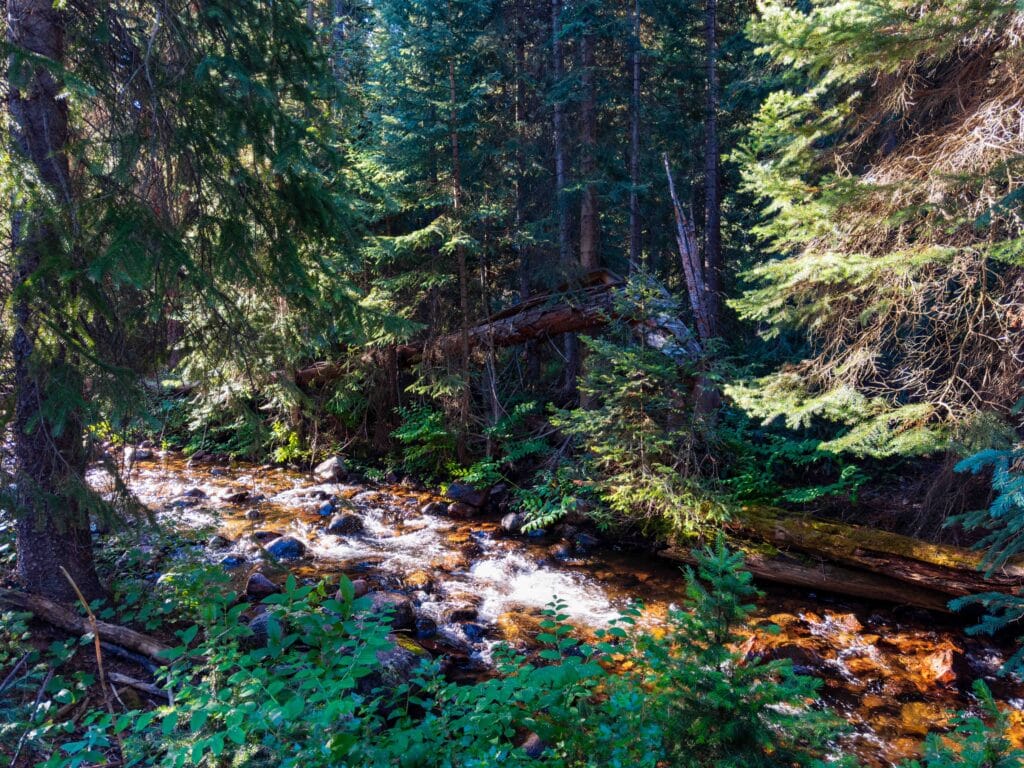
Bighorn Creek Trail begins off Bighorn Road in East Vail and climbs steadily alongside the creek through aspen and spruce forest. Around 2.5 miles in, hikers reach the remains of an old log cabin, a common turnaround point.
The trail continues beyond the cabin into an upper basin with views of the Gore Range for those wanting a longer day. Parking near the trailhead is limited, so arrive early on summer weekends.
Distance: 7.5 miles (or less)
Difficulty: Moderate-Hard
Elevation Gain: 2,200
AllTrails Link
13. Strawberry Lane
Strawberry Lane is an alternate start to Berrypicker, beginning at the base of Gondola One in Vail Village. It gains roughly 650 feet over about 1.3 miles, making it a manageable short hike close to town. The lower section is rooty and can be slick after rain, with a few small stream crossings.
Higher up, the trail crosses wildflower-covered ski runs and passes a snowmaking pond before connecting with Berrypicker for anyone wanting to continue uphill.
Distance: 2.7 miles
Difficulty: Moderate
Elevation Gain: 670 feet
AllTrails Link
These are the three trails outside of Vail Valley. All of these hikes are an easy 90-120 minute drive from Denver.
14. Willow Creek Falls Trail
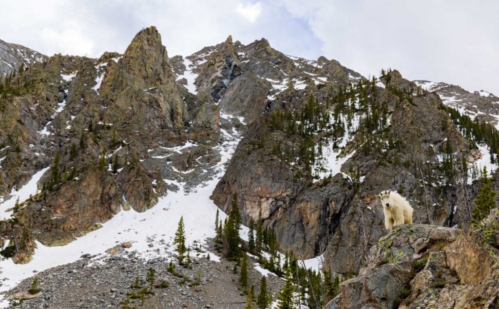
About 45 minutes from Vail, Willow Creek Falls Trail gets you into the Gore Range from the east side. It’s not too hard (steep incline at the start and finish, with a flat middle), but it shows off the area’s beauty. If you’re lucky, you might see some mountain goats up there!
One thing to note: the parking lot isn’t too big, so plan this for a weekday hike.
Distance: 6.5 miles
Difficulty: Moderate
Elevation Gain: 1,100
AllTrails Link
15. Willow Lakes Trail

Same trailhead as above, but this one takes you much deeper into the Gore Range to a stunning alpine lake system. We backpacked this, which allows you to watch sunrise from Willow Lakes as the spires light up in the morning light.
It’s much harder than the Willow Creek Trail, but it offers a more grandiose experience. The first four miles are a long, slow uphill. After that, the views improve, and the trail flattens out as you pass by a handful of lakes.
Distance: 12 miles
Difficulty: Hard
Elevation Gain: 2,800
AllTrails Link
16. Mayflower Gulch Trail
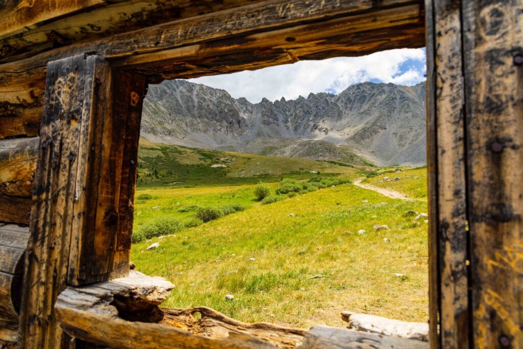
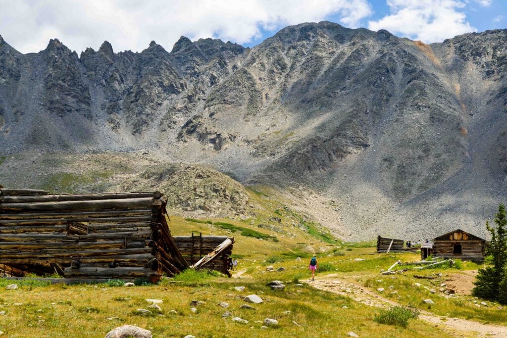
A really fun hike that isn’t too hard and probably good for the entire family. Don’t let the AllTrails stats fool ya; most people only go to the cabin, about 1.5 miles from the trailhead. At the cabin, the views are amazing, especially in July once the flowers are blooming.
You can also keep hiking past the cabin, or go up to the right to get more exercise. I feel more people do this trail coming from Breckenridge or Leadville, but there’s no reason you can’t do it from Vail either.
Distance: 3-6 miles depending on where you end
Difficulty: Easy/Moderate
Elevation Gain: 600-1,000 feet
AllTrails Link
What are the best fall hikes near Vail?
With Colorado fall colors coming up quickly in Vail, let’s dive into this. First, when are fall colors happening in 2026? Because of the drought, they’re happening earlier than usual and aren’t as vibrant. Expect Vail to peak around September 22nd-ish. But remember, higher-elevation trees will turn before those in Vail Valley.
Almost all hikes in the Vail Valley will be fall-color hikes. This includes Strawberry Lane, Booth Falls and Booth Lake, Pitkin Lake, Bighorn Creek Trail (choose your distance), Gore Lake Trail (stick to the lower section along the creek for awesome aspen photos), and Piney Lake Trail.
If you want more ideas, open AllTrails while you’re there and see which trails lead to the aspen groves.
When is the best time to visit Vail for hiking?
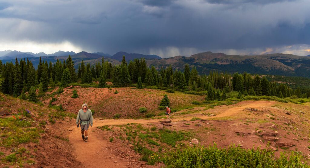
Hiking season in Vail kicks off in late-May/June and runs until the snow starts to stick. I visited Vail in April 2026 with a bad snow year, and it was the definition of mud season. We did do Booth Falls Trail, which was nice, but it was definitely muddy, and the aspen leaves hadn’t grown back yet, so it was a bit ugly.
I’d suggest not planning a trip to Vail until June at the earliest.
Once summer arrives, it’s near perfect out there. The Gore Range is one of Colorado’s gems and offers so many epic hiking opportunities.
Where should I stay when hiking around Vail?
The Vail Valley is pretty long, so you have plenty of options. If you want the best location, Vail proper is the place to be – but it can be expensive. Avon or Eagle will offer cheaper lodging, though it’ll be 15-30 minutes from your drive and be warmer.
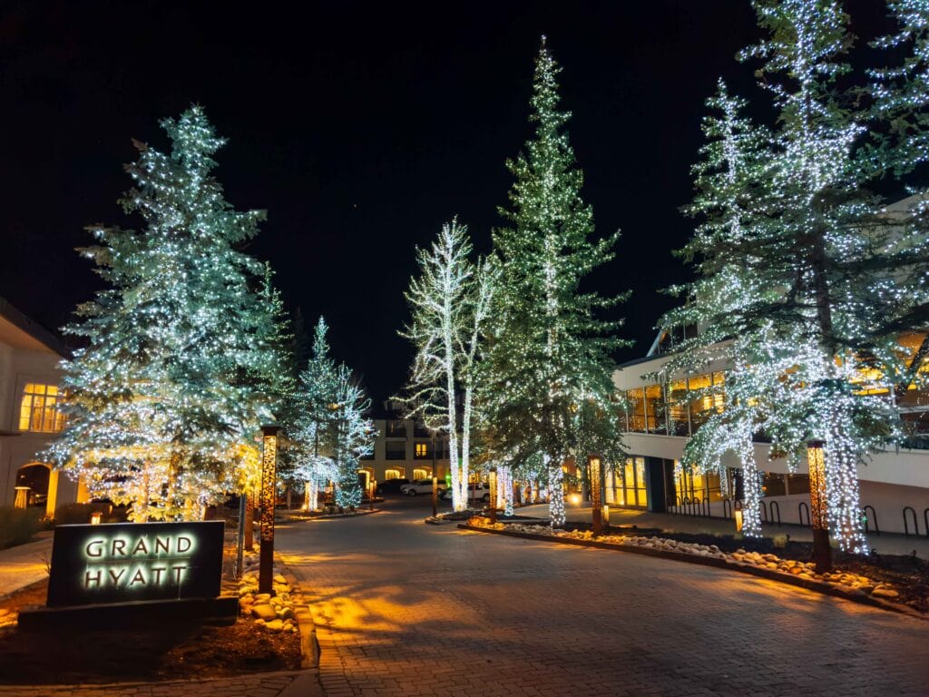
Vail Suggestions:
Avon Suggestions:
- Comfort Inn
- The Ritz-Carlton, Bachelor Gulch
- Springhill Suites By Marriott
- Sheraton Mountain Vista Villas
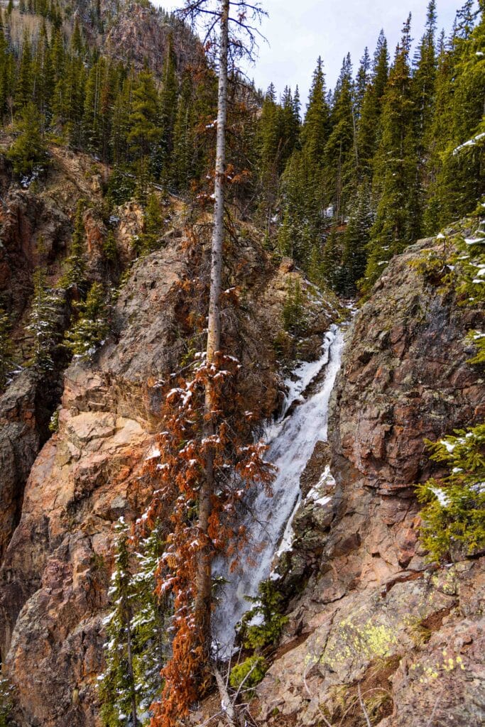
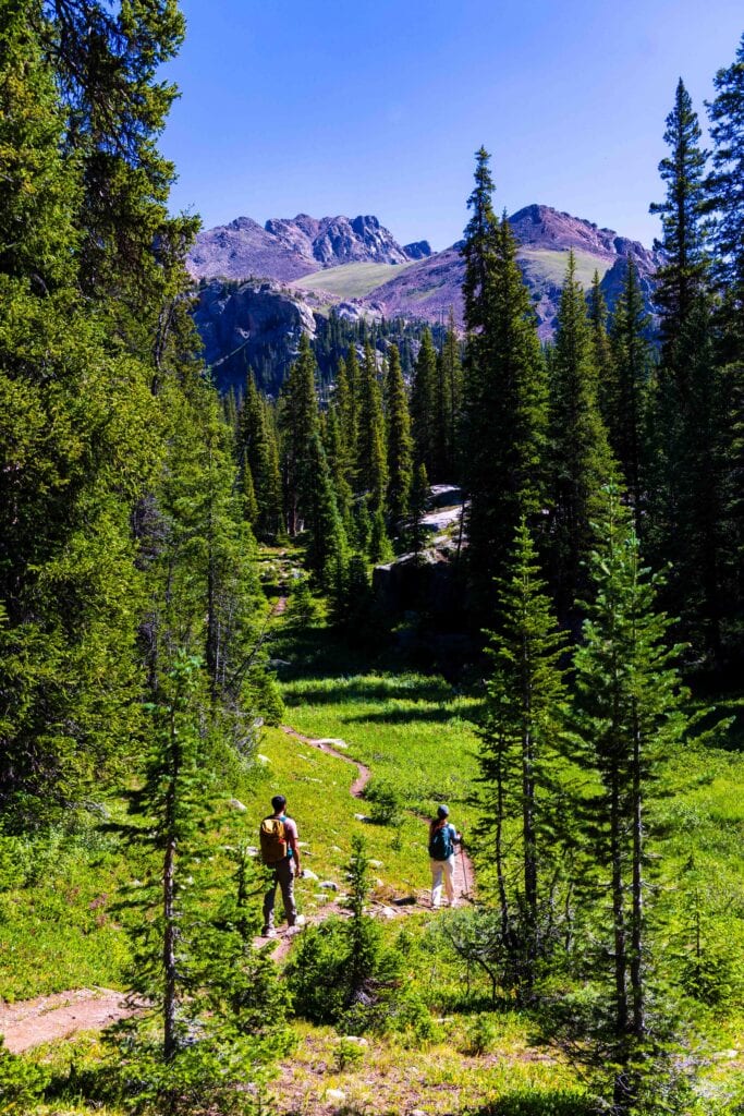
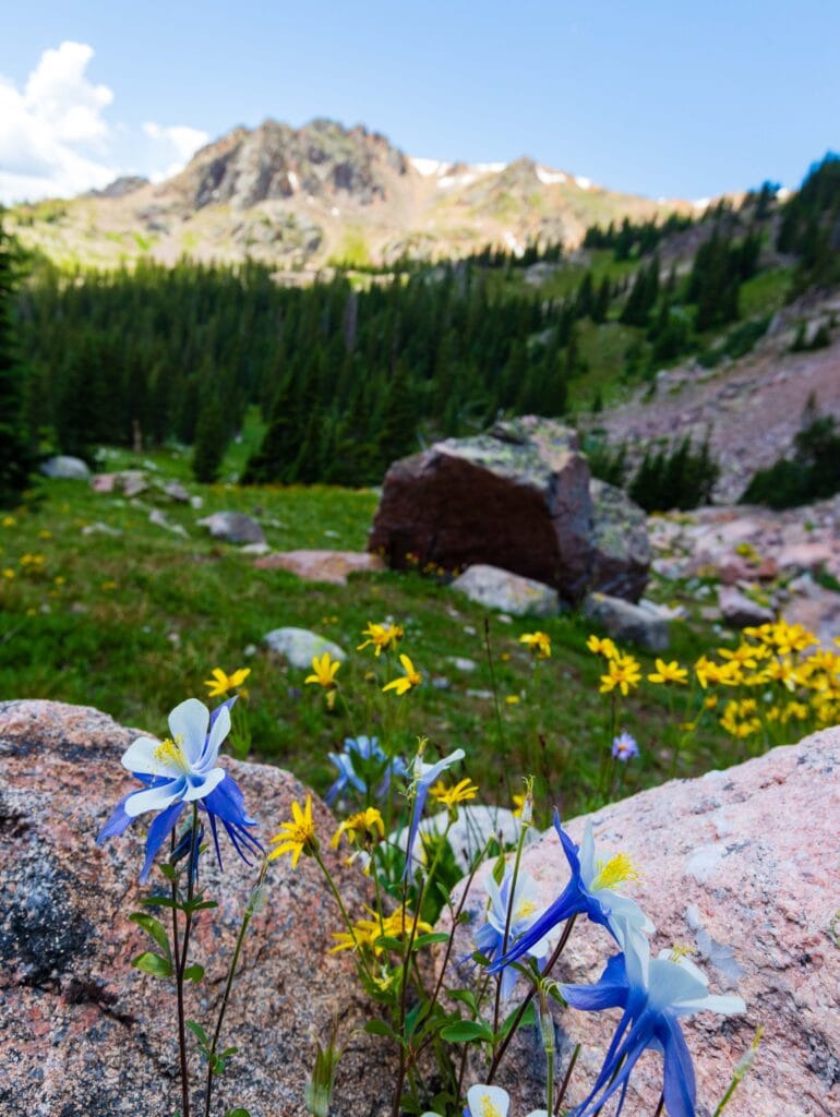
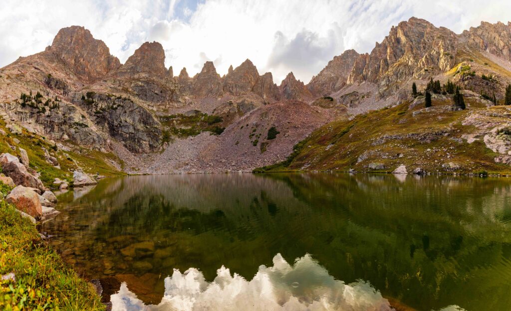
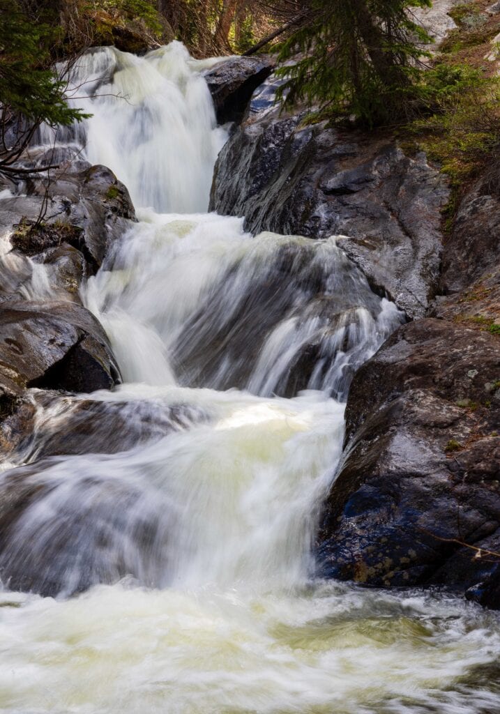
More Photos from Vail-Region Hikes




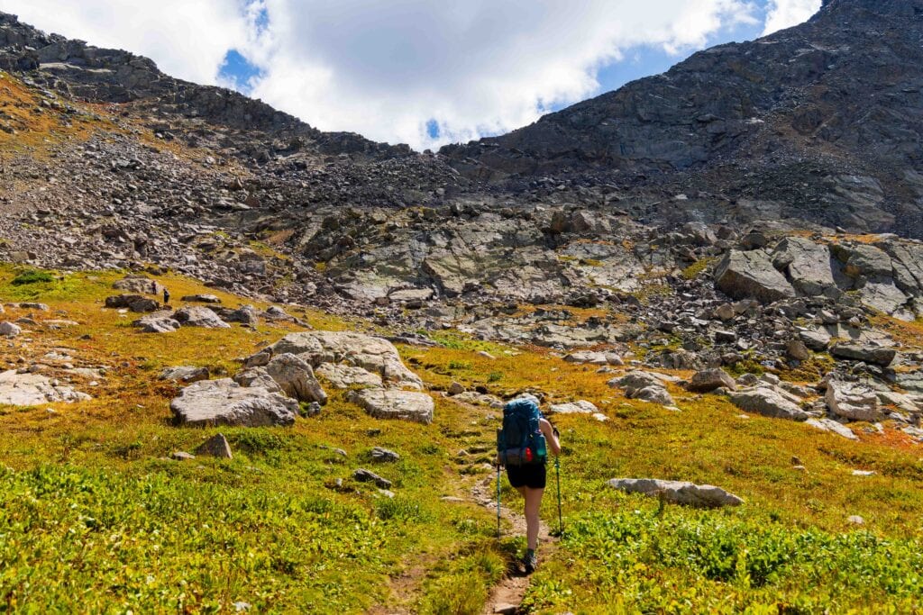
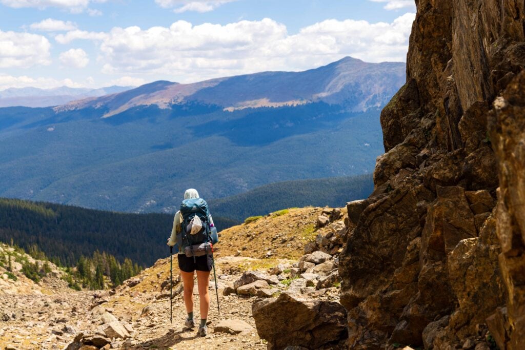
Final Thoughts on Choosing Hikes Near Vail
The Gore Range and the Holy Cross Wilderness are two fantastic hiking destinations. And Vail sits right between the two. As you look for hikes in Vail, I’d key in on these two spots. Unfortunately, the hiking immediately around Vail Village is a little meh, but not terrible. Just okay. So, plan to drive 15-40 minutes, and you’ll have much better hiking opportunities.
Until next time, adventurers, stay safe.
Follow on social media: TikTok || Instagram || Facebook || Newsletter | YouTube