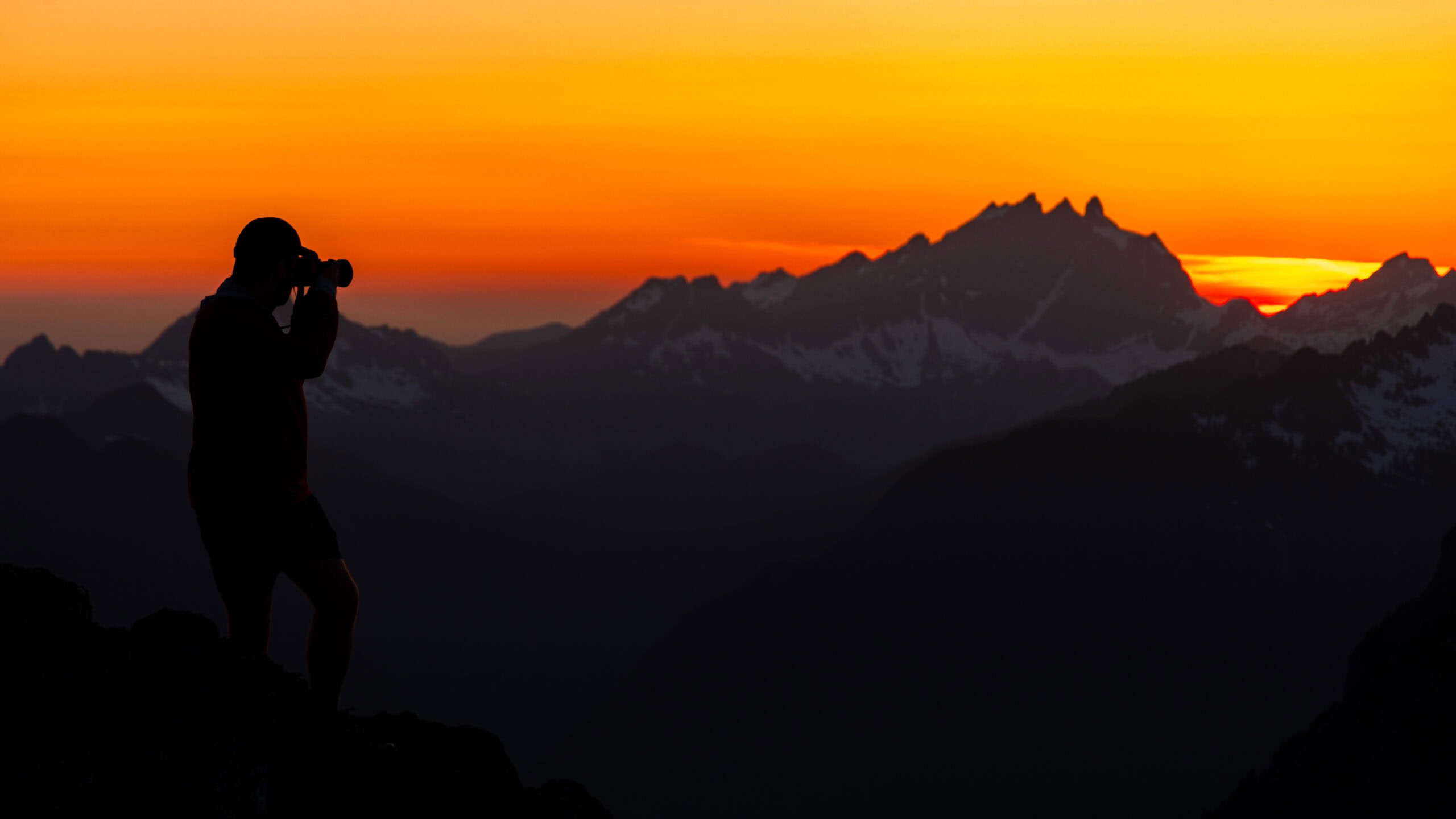
The 9 Best Hikes Along the Mountain Loop Highway in Washington
The Washington Cascades are among the most stunning and brilliant mountain ranges in the entire country. Each valley has its own unique gems, and the Mountain Loop Highway hikes surely aren’t to be missed. They offer dense, lush forests, stunning mountain landscapes, epic trails, majestic summits, and a scenic drive.
And it’s all relatively accessible from the Western side of the state.
Inside, we’ll dive into the best hikes on the Mountain Loop Highway and a few tidbits to help plan out your trip into one of my favorite places in the Pacific Northwest. Whatever trail you choose, you’re in for a treat!
Easy Booking: Expedia.com | Hotels.com | VRBO | Booking.com
Need Gear: Find Gear at REI
Find Awesome Tours: Viator.com or GetYourGuide.com
Follow on Instagram: @Alecoutside
Iceland on your bucket list? Get my Iceland guide + 144 pinned locations on Google Map
Best Mountain Loop Highway Hikes For the Summer
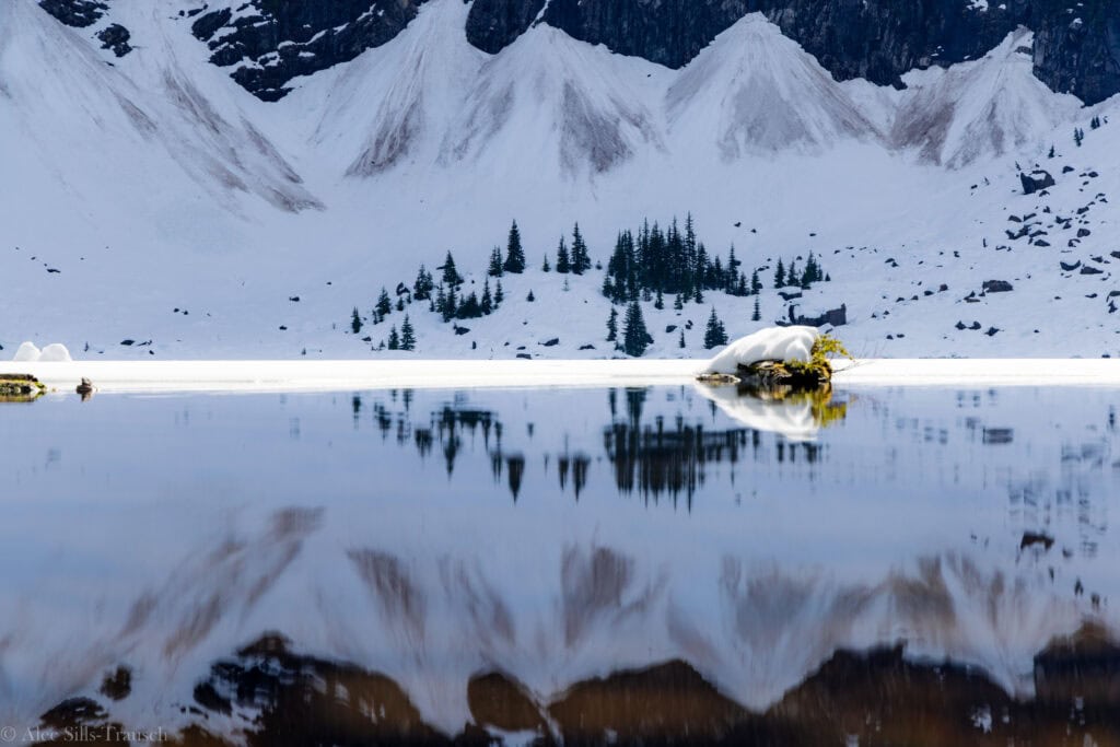
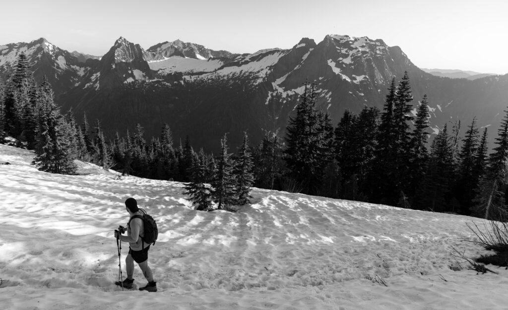
1. Lake 22
One of the most popular trails in Washington.
Its proximity to Seattle, moderate difficulty, and impressive lake and rock wall make it a trifecta that is hard to beat for most people. And when you add all three, you get insane crowds. So, if you’re looking to do this hike, you’d better set your alarm early or plan a late afternoon hike.
I think this trail can technically be done year-round, if you’re okay walking in the snow. We did it in late March and had a great time on the trail and at the lake. You’ll be stoked to complete this Mountain Loop Highway hike.

Distance: 5.4 miles
Elevation Gain: 1,350 feet
Difficulty: Moderate
Location: Verlot, just past Heather Lake/Mount Pilchuck
2025 Notes: Closed weekdays from July 15 to October 31, 2025
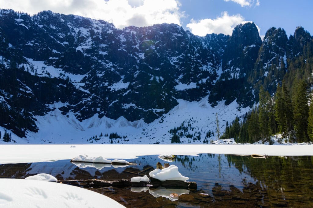
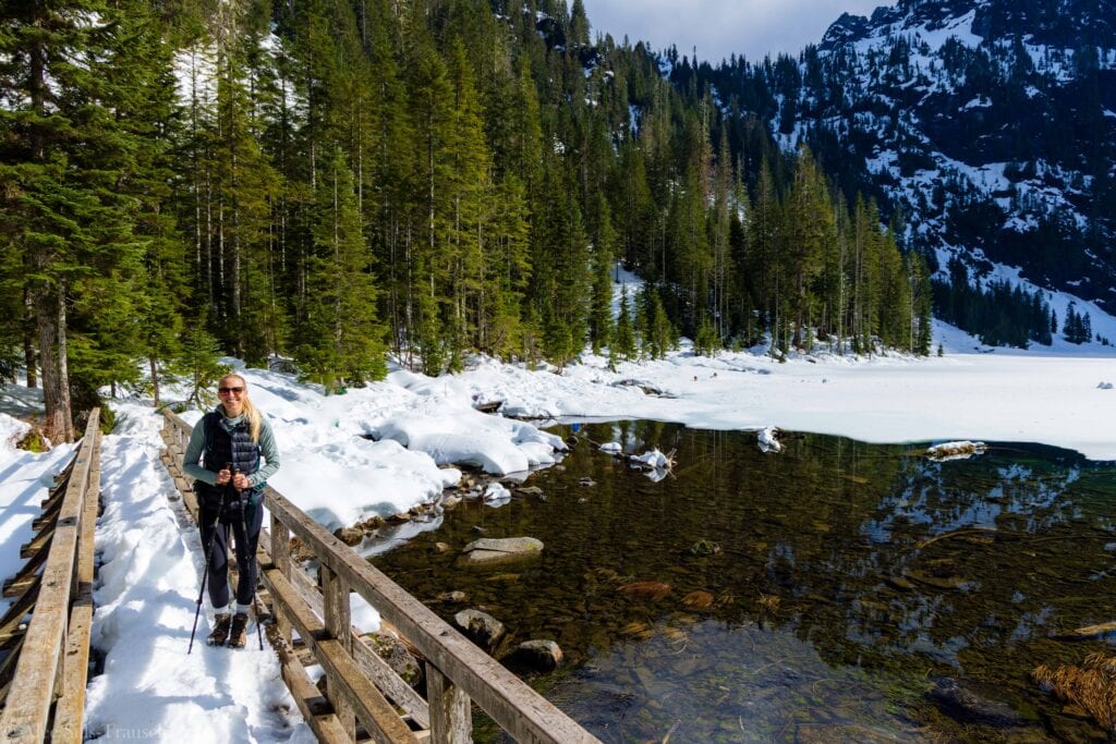
2. Heather Lake

Heather Lake is a fun hike on the Mountain Loop Highway. We did it in early December, which shows it’s doable in winter. That said, the trail was a river. Our only saving grace was some good rock hopping and waterproof boots.
The lake wasn’t frozen, but there was plenty of snow around it. I don’t remember it being too challenging, but I do remember being annoyed at the amount of water and having to navigate the flow.
Distance: 5 miles
Elevation Gain: 1,034 feet
Difficulty: Easy/Moderate
Location: Below Mount Pilchuck in Verlot
2025 Notes: Closed starting May 19 for work. Check local reports for updates.
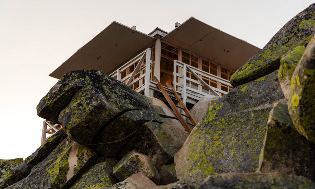
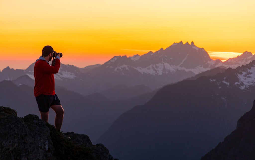
3. Mount Pilchuck Fire Lookout
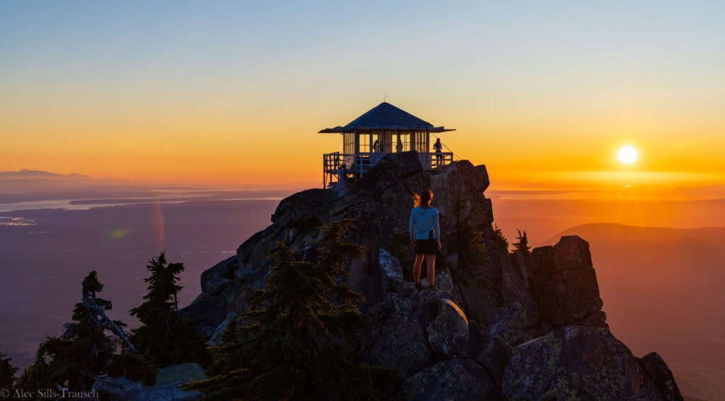
Historically, the road up to the Mount Pilchuck Lookout was terrible. That’s no longer the case. When I did it in July 2024, it was a lovely dirt road that winds you high up the mountain.
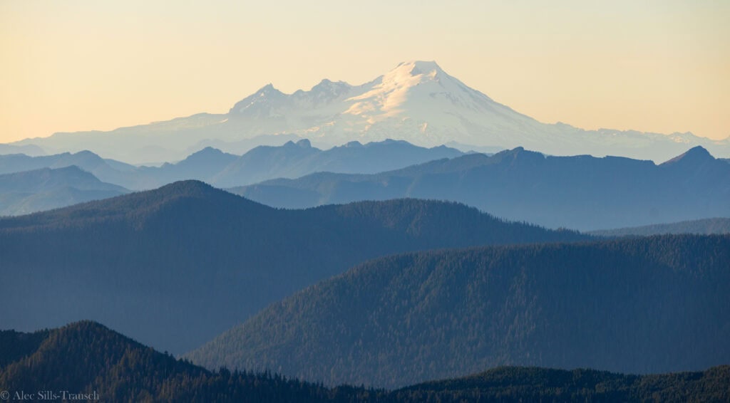
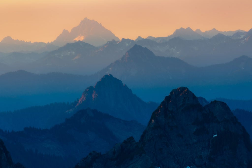
The hike itself is fantastic and one of the best bang-for-your-buck trails in Washington. You have views of Mount Baker, Glacier Peak, Three-Fingers, and more throughout the Washington Cascades. It’s a steady climb up, and while I was tired, it wasn’t too bad.
The last 25 yards up to the lookout will have you climbing over a couple of boulders as you reach the ladder. But it’s worth it. I was stoked at the hike, and it’s perfect for a sunset one, as it’s not too far from Seattle.

Distance: 5.4 miles
Elevation Gain: 2,300 feet
Difficulty: Moderate to Hard
Location: Verlot
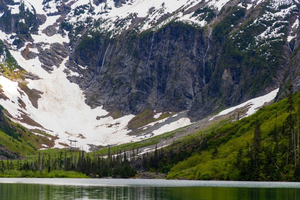
4. Goat Lake

One of the most recent Mountain Loop Highway hikes I’ve checked off, and it was fantastic! It’s incredibly mild, with a solid uphill at the end to the lake. Otherwise, you’ll be able to carry on a conversation for the entire 10-mile round-trip trail.
But that’s why this trail is slightly less popular than it would be otherwise. The distance and drive time keep some hikers away. Goat Lake is just under two hours, and you’ll have to go about 4 miles on the dirt road section of the road.
Back to the hike, I had no idea how beautiful the lake would be. Holy smokes, it is stunning. In June, you’ll have waterfalls flowing into the lake and spectacular snowy peaks. Highly, highly recommend this one if you can handle the 10 miles.


Distance: 10.4 miles
Elevation Gain: 1,400 feet
Difficulty: Moderate
Location: Dirt road section of the MLH
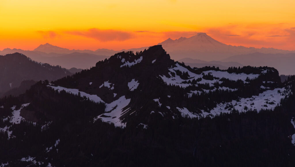
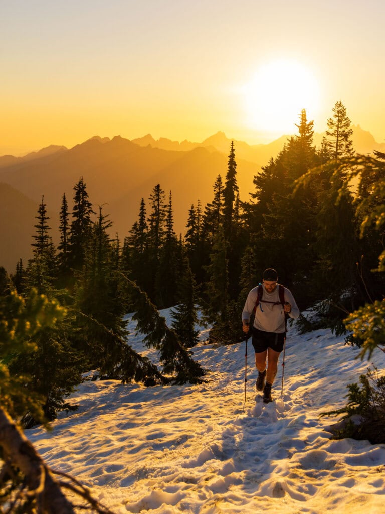
5. Mount Dickerman
The most recent and likely last hike I’ll do on the Mountain Loop Highway for a while. It is one bad-ass hike, and you will earn the views. It’s a considerable incline, but it’s almost entirely made up of switchbacks, so it’s somewhat gentler than it could be.
I completed this in mid-June, and we had a snow-free trail for the first 3 miles, followed by intermittent snow for half a mile. Then the summit push was in the snow.
In July, this area should be snow-free (on a south-facing slope) and would make an excellent hike or backpacking trip.
The views up top are incredible. You’ll see Glacier Peak, Mount Baker, and part of Mount Rainier. I did it for sunrise and recommend it (the trail is in fantastic shape, so you can cruise down it with a headlamp).

Distance: 8.2 miles
Elevation Gain: 3,950
Difficulty: Hard
Location: Middle of MLH
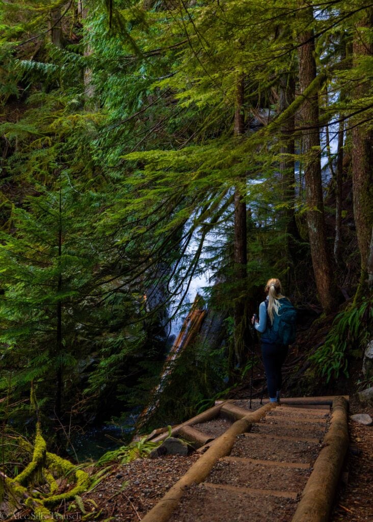
6. Big Four Ice Caves

A short and easy hike to the Ice caves in front of Big Four Mountain. I haven’t done this one, but it’s pretty scenic and offers hikers a pleasant stroll. You are NOT supposed to go in or near the ice caves. People have died there.
There are two ways to access the trail. You can start at the Big Four Ice Cave trailhead or the Big Four Picnic Area.
Distance: 2.2 miles
Elevation Gain: 220 feet
Difficulty: Easy
Location: Past Silverton, about halfway
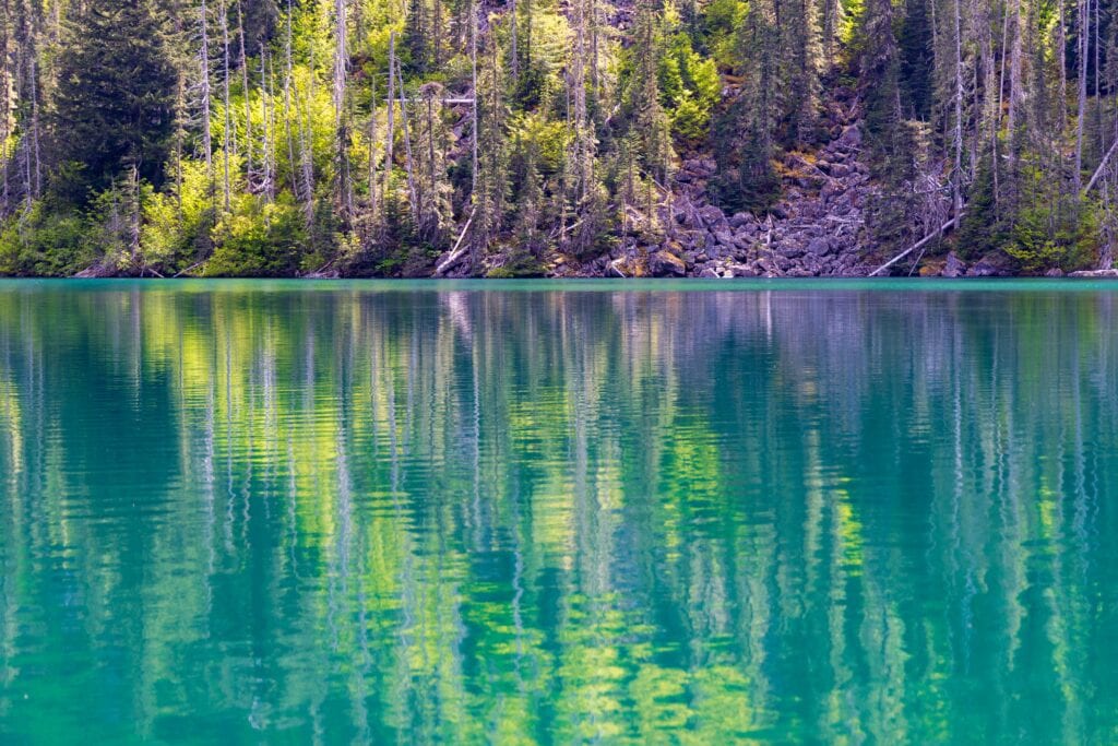
7. Gothic Basin
One of the best hikes in Washington, and sadly, one of the ones I didn’t get to do during my three years in Washington. It’s a rugged, magical basin that’s perfect for a day hike and even better for an overnight adventure.
If you’re looking for a backpacking route, this is probably the best Mountain Loop Highway hike to do.
Distance: 9.2 miles
Elevation Gain: 2,800 feet
Difficulty: Hard
Location: Barlow Pass (just before it turns to a dirt road)
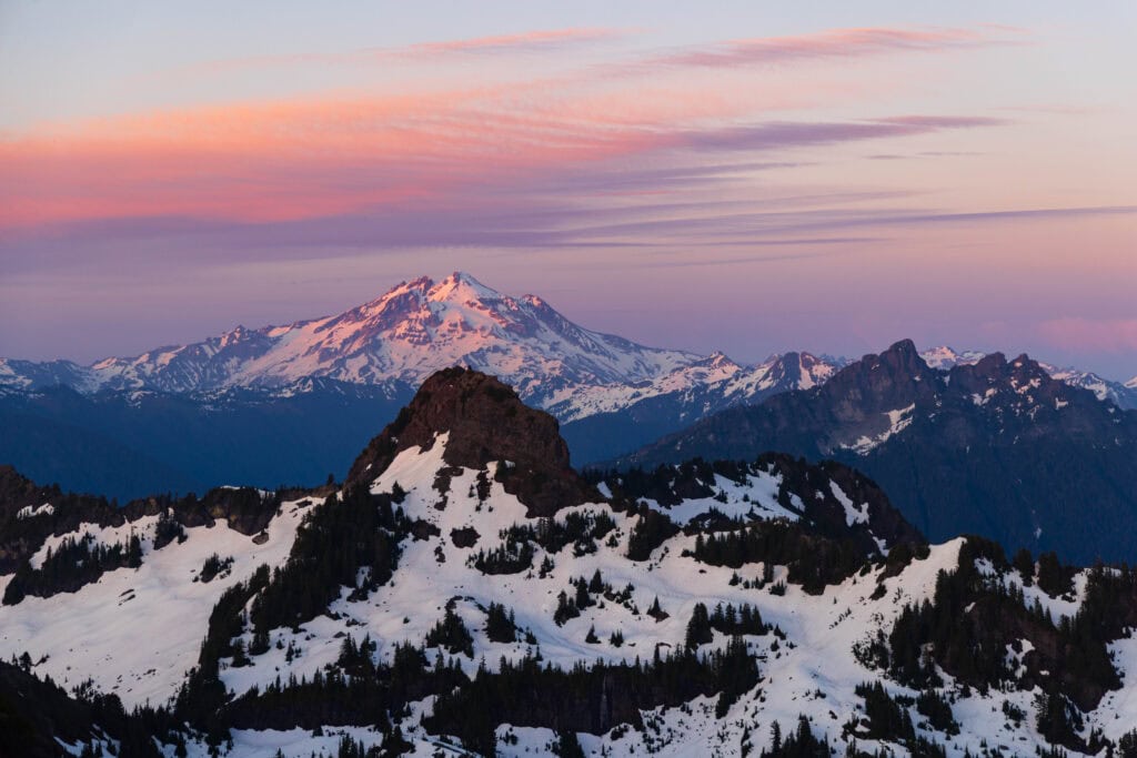
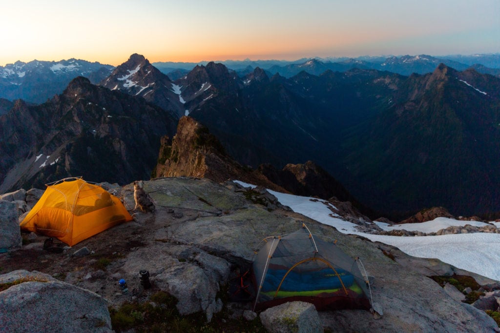
8. Vesper Peak
What can I say about Vesper? This was one of the first summits I did when I moved to Washington. It is also one of the hardest hikes I’ve ever done. It’s 4,000 feet in four miles, and a lot of that is the latter half.
The views from the top are immaculate. You have a sea of peaks in every direction, with Mount Rainier, Glacier Peak, and Mount Baker all showing off. Of all these Mountain Loop Highway hikes, this one is the most amazing, but least applicable to most.
There are a couple of spots to camp up top. If you want to do this, make sure you get an early start or go on a weekday.


Distance: 8 miles
Elevation Gain: 4,000 feet
Difficulty: Hard
Location: Middle of the Mountain Loop Highway
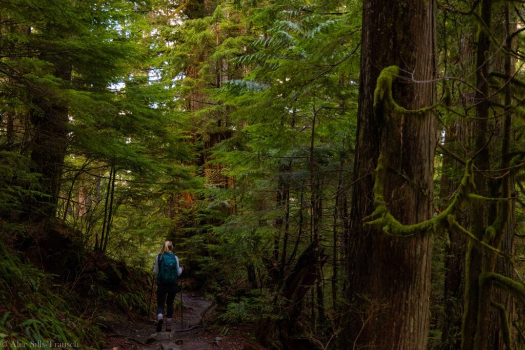
9. Old Sauk River Trail

The six miles on this trail are somewhat deceiving. It’s an out-and-back, but the end of the trail puts you back on the Mountain Loop Highway, just further down the road. When I did this, we walked 1.5 miles and then turned back.
It’s not really a summer hike, as it looks much the same year-round. And you should be doing all the good ones while they’re snow-free. But come spring and winter, it’s a perfect one to stretch the legs and enjoy nature.

Distance: 6 miles
Elevation Gain: 150 feet
Difficulty: Easy
Location: A few miles south of Darrington
Summer Hiking Gear
- Wide-brimmed hat
- Sunglasses
- Sun shirt or sun hoodie
- Hiking Shoes or Trail Runners
- Hiking Shorts or Hiking Pants
- 25L+ Hiking Pack
- 2L hiking bladder or water bottles
- Garmin inReach 2
- Garmin Fenix hiking watch
- Light jacket for mornings
- Hiking Poles
Exploring the Mountain Loop Highway
What is the Mountain Loop Highway?
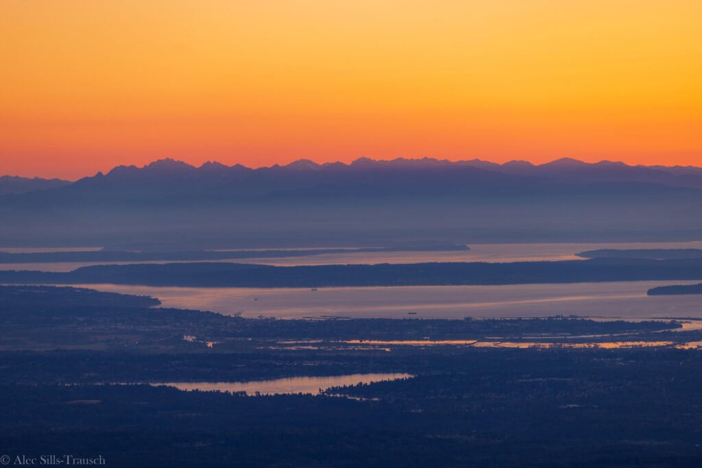
The Mountain Loop Highway is a scenic byway in Washington state that winds through the stunning wilderness and valleys of the Cascade Mountains, connecting the towns of Granite Falls and Darrington. Spanning approximately 55 miles, it offers access to lush forests, alpine lakes, rugged peaks, and crystal-clear rivers.
Parts of the highway are paved, but the central section is gravel and typically closed in winter due to snow. It’s a beloved summer and fall destination for those seeking a peaceful escape into Washington’s wild backcountry.
How far is it from Seattle?
This depends on where you want to go. If you’re looking to hike to Mount Pilchuck Lookout, it’s approximately a 90-minute hike. If you’re looking to go deeper into the valley, it might take two hours. To complete the entire drive to Darington, it could be three hours.
Part of the Mountain Loop Highway is unpaved, but passable
I’m not sure what the reason is, but the most eastern stretch of the Mountain Loop Highway is unpaved.
For 13 miles, from Barlow Pass until nine miles south of Darrington, is a dirt/gravel road. I’ve driven four miles of it on the way to Goat Lake, and it was totally fine. There are a few potholes to avoid, but nothing major.
I can’t speak to what the other nine miles might be coming from Darrington, but I’d be shocked if they weren’t drivable for standard cars. (NOTE: This section is closed during the winter.)
Hardly any cell service
Unless you’re rocking Starlink, you will have no cell service for most of your hikes along the Mountain Loop Highway. Be sure to download your maps and trails in advance. It’s also wise to carry a satellite communications device, such as a Garmin inReach.
Tons of Campgrounds to Choose From
Driving east on the road, you’ll pass tons and tons of campgrounds that look idyllic.
- Clear Creek Campground
- Coal Creek Group Campground
- Verlot Campground
- Turlo Campground
- Bedal Campground
- Gold Basin Campground
- Red Bridge Campground
Wrapping up the top Mountain Loop Highway hikes
If you need a great hike and are okay battling some crowds, the mountain loop highway hikes offer a fantastic time in nature, without having to drive too far from the Seattle metro area. They also offer hikes for all skill levels.
Want a casual walk, go check out Big Four Ice Cave or Old Sauk River Trail. Looking for a moderate hike? Lake 22 or Heather Lake are options. And if you want to summit some epic peaks, check out Vesper, Dickerman, Gothic Peak, or Del Campo Peak.
The Mountain Loop Highway is slept on by so many, but it has become one of my favorite areas to explore, and I’m sure you’ll fall in love with it like I have.
Until next time, adventurers, stay safe.
Follow on social media: TikTok || Instagram || Facebook || Newsletter | YouTube